Fort Johnson in Montgomery County, New York — The American Northeast (Mid-Atlantic)
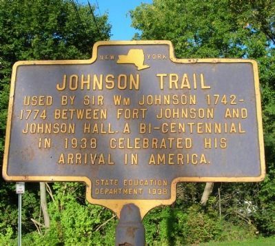
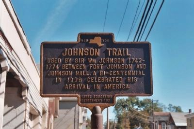
Johnson Trail
1774 between Fort Johnson and
Johnson Hall. A Bi-Centennial
in 1938 celebrated his
arrival in America.
Erected 1938 by New York State Education Department.
Topics. This historical marker is listed in these topic lists: Notable Places • Roads & Vehicles. A significant historical year for this entry is 1774.
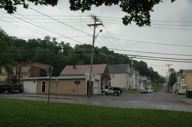
Location. 42° 57.448′ N, 74° 14.358′ W. Marker is in Fort Johnson, New York, in Montgomery County. Marker is at the intersection of Fort Johnson Avenue (New York State Route 67) and Prospect Street, on the right when traveling north on Fort Johnson Avenue. Marker is just off Route 5 at the intersection of Route 67 and a side street named Prospect Street. Touch for map. Marker is in this post office area: Fort Johnson NY 12070, United States of America. Touch for directions.
Other nearby markers. At least 8 other markers are within one mile of this marker, measured as the crow flies. Fort Johnson (about 300 feet away, measured in a direct line); The Orchard at Old Fort Johnson (about 300 feet away); a different marker also named Fort Johnson (about 300 feet away); Fort Johnson, 1749 (about 400 feet away); Putman's Lock Grocery (approx. 0.3 miles away); Claus Mansion (approx. one mile away); Amsterdam World War Memorial (approx. one mile away); Jan Wemp (Wemple) (approx. 1.1 miles away). Touch for a list and map of all markers in Fort Johnson.
Credits. This page was last revised on June 16, 2016. It was originally submitted on February 24, 2008, by Howard C. Ohlhous of Duanesburg, New York. This page has been viewed 1,204 times since then and 19 times this year. Photos: 1. submitted on September 18, 2011, by Howard C. Ohlhous of Duanesburg, New York. 2. submitted on February 24, 2008, by Howard C. Ohlhous of Duanesburg, New York. 3. submitted on September 10, 2011, by Howard C. Ohlhous of Duanesburg, New York. • Kevin W. was the editor who published this page.


