Federal Triangle in Northwest Washington in Washington, District of Columbia — The American Northeast (Mid-Atlantic)
Washington, DC: Capital and City
Make No Little Plans
— Federal Triangle Heritage Trail —
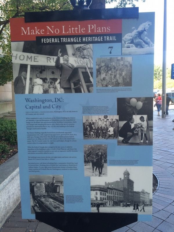
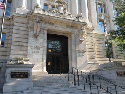
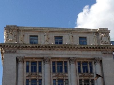
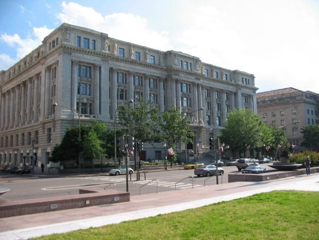
This is the John A. Wilson Building, Washington, DC's city hall, home to DC's mayor and city council.
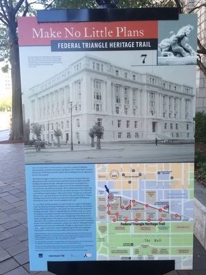
When completed in 1908, it was known as the District Building (for District of Columbia). Cope and Stewardson of Philadelphia won the competition to design it in the Beaux-Arts style favored by the McMillian Commission, which was charged with remaking this area in 1901. Built on the site of a streetcar powerhouse destroyed by fire in 1897, it is the only building in the Federal Triangle constructed of marble.
The District Building originally housed three presidentially appointed commissioners who, with congressional supervision, governed DC from 1874 until 1974. Passage of the Home Rule Act of 1973 ended exclusive federal control over city affairs and allowed DC citizens to elect a city council and mayor. The DC Council creates the city's laws and budgets, though its actions remain subject to congressional oversight.
When the Federal Triangle plan emerged in the late 1920s, it called for demolition of this building in order to build a Great Plaza on 14th Street. But critics argued it would be wasteful to raze such an impressive marble structure, and citizens rallied to save it.
The building's name honors the late civil rights leader and home rule activist, former DC Council Chair John A. Wilson.
Just ahead across 14th Street is Pershing Park, a memorial to World War I and to General John J. Pershing, hero of World War I and mentor to World War II military leaders. To your right across Pennsylvania Avenue is Freedom Plaza, where a portion of L'Enfant's Plan for Washington is rendered in white marble and black granite.
Erected by Cultural Tourism DC. (Marker Number 7.)
Topics and series. This historical marker is listed in these topic lists: African Americans • Architecture • Civil Rights • Government & Politics • Political Subdivisions • War, World I • War, World II. In addition, it is included in the Federal Triangle Heritage Trail series list. A significant historical year for this entry is 1908.
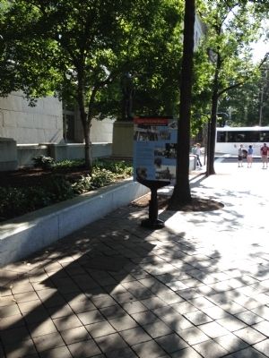
Location. 38° 53.721′ N, 77° 1.894′ W. Marker is in Northwest Washington in Washington, District of Columbia. It is in Federal Triangle. Marker is at the intersection of Pennsylvania Avenue Northwest and 14th Street Northwest, on the right when traveling east on Pennsylvania Avenue Northwest. Touch for map. Marker is at or near this postal address: 1350 Pennsylvania Avenue Northwest, Washington DC 20004, United States of America. Touch for directions.
Other nearby markers. At least 8 other markers are within walking distance of this marker. Alexander Robey Shepherd (a few steps from this marker); The John A. Wilson Building (within shouting distance of this marker); Marion Barry, Jr.
(within shouting distance of this marker); John J. Pershing, General of the Armies (1860-1948) (about 300 feet away, measured in a direct line); The Great Seal of the United States (about 300 feet away); Alice Paul (about 300 feet away); The Washington Post (about 400 feet away); Open For Business (about 400 feet away). Touch for a list and map of all markers in Northwest Washington.
Credits. This page was last revised on January 30, 2023. It was originally submitted on July 4, 2012, by Craig Swain of Leesburg, Virginia. This page has been viewed 837 times since then and 25 times this year. Photos: 1. submitted on June 25, 2019, by J. Makali Bruton of Accra, Ghana. 2. submitted on September 19, 2015, by J. Makali Bruton of Accra, Ghana. 3, 4, 5. submitted on July 8, 2012, by Craig Swain of Leesburg, Virginia. 6. submitted on July 9, 2012, by Craig Swain of Leesburg, Virginia.
