Near Sharpsburg in Washington County, Maryland — The American Northeast (Mid-Atlantic)
Sixth Army Corps
Sixth Army Corps
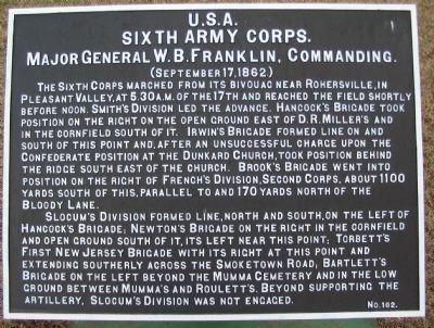
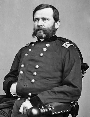
Major General W.B. Franklin, Commanding.
(September 17, 1862.)
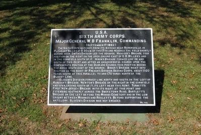
The Sixth Corps marched from its bivouac near Rohersville, in Pleasant Valley, at 5:30 a.m. of the 17th and reached the field shortly before noon. Smith's Division led the advance. Hancock's Brigade took position on the right on the open ground east of D.R. Miller's and in the cornfield south of it. Irwin's Brigade formed line on and south of this point and, after an unsuccessful charge upon the Confederate position at the Dunkard Church, took position behind the ridge south east of the church. Brook's Brigade went into position on the right of French's Division, Second Corps, about 1100 yards south of this, parallel to and 170 yards north of the Bloody Lane.
Slocum's Division formed line, north and south, on the left of Hancock's Brigade; Newton's Brigade on the right in the cornfield and open ground south of it, its left near this point; Torbett's First New Jersey Brigade with its right at this point and extending southerly across the Smoketown Road; Bartlett's Brigade on the left beyond the Mumma Cemetery and in the low ground between Mumma's and Roulett's. Beyond supporting the artillery, Slocum's Division was not engaged.
Erected by Antietam Battlefield Board . (Marker Number 102.)
Topics and series. This historical marker is listed in this topic list: War, US Civil. In addition, it is included in the Antietam Campaign War Department Markers series list. A significant historical date for this entry is September 17, 1862.
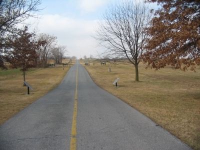
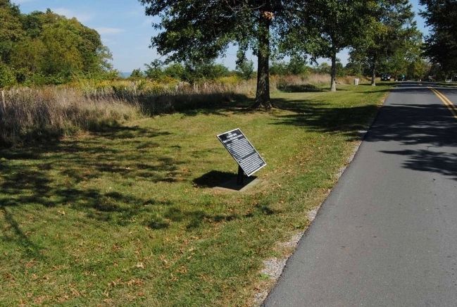
Location. 39° 28.873′ N, 77° 44.595′ W. Marker is near Sharpsburg, Maryland, in Washington County. Marker is on Cornfield Avenue, on the right when traveling west. Located between stops three and four of the driving tour of Antietam Battlefield. Touch for map. Marker is in this post office area: Sharpsburg MD 21782, United States of America. Touch for directions.
Other nearby markers. At least 10 other markers are within walking distance of this marker. Longstreet's Command (a few steps from this marker); First New Jersey Brigade (within shouting distance of this marker); 13th New Jersey Infantry (within shouting distance of this marker); Jackson's Command (within shouting distance of this marker); U.S. Artillery (within shouting distance of this marker); Battery B (within shouting distance of this marker); First Army Corps (within shouting distance of this marker); a different marker also named Jackson's Command (within shouting distance of this marker); a different marker also named First Army Corps (about 300 feet away, measured in a direct line); Ricketts' Division, First Army Corps (about 300 feet away). Touch for a list and map of all markers in Sharpsburg.
Related markers. Click here for a list of markers that are related to this marker. Sixth Corps in the Antietam Campaign.
Also see . . .
1. Antietam Battlefield. National Park Service site. (Submitted on February 27, 2008, by Craig Swain of Leesburg, Virginia.)
2. Sixth Army Corps. Three divisions formed the VI Corps at Antietam, including the attached 1st Division (Smith's) of IV Corps. Major Oliver D. Greene, of the Corps staff, received the Medal of Honor for actions forming the troops under fire. (Submitted on February 27, 2008, by Craig Swain of Leesburg, Virginia.)
3. William B. Franklin. William Buel Franklin (February 27, 1823 – March 8, 1903) was a career United States Army officer and a Union Army general in the American Civil War. He rose to the rank of a corps commander in the Army of the Potomac, fighting in several notable early battles in the Eastern Theater. (Submitted on October 22, 2015, by Brian Scott of Anderson, South Carolina.)
Credits. This page was last revised on December 7, 2017. It was originally submitted on February 27, 2008, by Craig Swain of Leesburg, Virginia. This page has been viewed 786 times since then and 17 times this year. Photos: 1. submitted on February 27, 2008, by Craig Swain of Leesburg, Virginia. 2. submitted on October 22, 2015, by Brian Scott of Anderson, South Carolina. 3. submitted on February 27, 2008, by Craig Swain of Leesburg, Virginia. 4, 5. submitted on October 22, 2015, by Brian Scott of Anderson, South Carolina.
