Vancouver in Clark County, Washington — The American West (Northwest)
Fishers
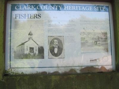
In 1805 Lewis & Clark and their expedition camped on Government Island, a haven for waterfowl. The Army from Vancouver Barracks later pastured horses on the island. Six families homesteaded and raised cattle there.
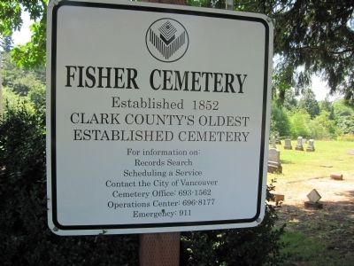
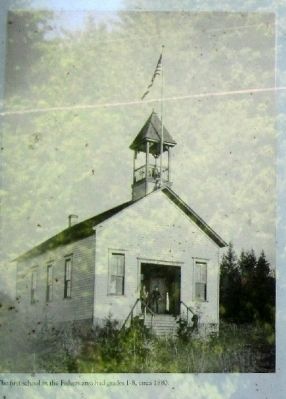
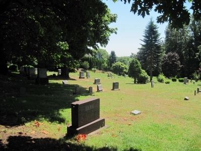
Solomon Fisher and William Simmons in 1851 filed donation land claims, founded Fishers community, built docks and cut firewood for river steamers. In 1907 Fishers became a flagstop railroad station. It had a blacksmith shop, school, a Grange hall, church, store cemetery (1852) and until 1917 a post office. Evergreen Highway was paved in 1922.
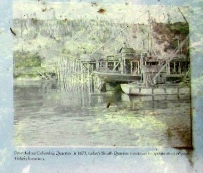
The Fisher quarry provided the 20-ton basaltic rock to build Columbia River jetties to tame the fury of Pacific Ocean storms at the river mouth.
We who sleep here in this blessed, bountiful land have seen much history unfold.
Erected by Clark County Heritage Site.
Topics. This historical marker is listed in these topic lists: Cemeteries & Burial Sites • Industry & Commerce • Notable Places. A significant historical year for this entry is 1805.
Location. 45° 35.4′ N, 122° 30.104′ W. Marker is in Vancouver , Washington, in Clark County. Marker is at the intersection of Evergreen Highway and SE 164th Avenue, on the right when traveling west on Evergreen Highway. Go south on SE 164th in Vancouver WA, go under WA 14,and you will dead end at Evergreen Highway in front of the cemetery and historic marker. Touch for map. Marker is in this post office area: Vancouver WA 98683, United States of America. Touch for directions.
Other nearby markers. At least 8 other markers are within 8 miles of this marker, measured as the crow flies. Crown Zellerbach Employee World War II Memorial (approx. 4˝ miles away); The First School in Camas (approx. 4.6 miles away); Flight 173 Memorial (approx. 4.7 miles away in Oregon); Camas-Washougal War Memorial (approx. 4.8 miles away); Sandy River Bridge (approx. 7.1 miles away in Oregon); The First Fort Vancouver (approx. 7.1 miles away); Tad's Chicken 'N Dumplin's (approx. 7.4 miles away in Oregon); From Military to Municipal Airfield (approx. 7˝ miles away). Touch for a list and map of all markers in Vancouver.
July 25, 2012
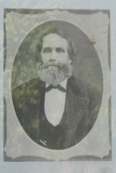
4. Photo Displayed on Marker
Photo caption:
Although the community took fhe name of Fishers, it was William Simmons who donated the original parcel of land for the Fishers Cemetery. This is the oldest public burying ground in Clark County, dating to the early 1850's. It was later enlarged to bring it to its present size.
Although the community took fhe name of Fishers, it was William Simmons who donated the original parcel of land for the Fishers Cemetery. This is the oldest public burying ground in Clark County, dating to the early 1850's. It was later enlarged to bring it to its present size.
Credits. This page was last revised on June 16, 2016. It was originally submitted on July 26, 2012, by Rachel Aschmann of Camas, Washington. This page has been viewed 1,052 times since then and 88 times this year. Photos: 1, 2, 3. submitted on July 26, 2012, by Rachel Aschmann of Camas, Washington. 4, 5. submitted on July 27, 2012, by Rachel Aschmann of Camas, Washington. 6. submitted on July 26, 2012, by Rachel Aschmann of Camas, Washington. • Syd Whittle was the editor who published this page.
Editor’s want-list for this marker. Wide area view of the marker and its surroundings. • Can you help?
