Placerville in El Dorado County, California — The American West (Pacific Coastal)
Placerville Pony Express
Station and Terminus
Photographed by Syd Whittle, October 18, 2008
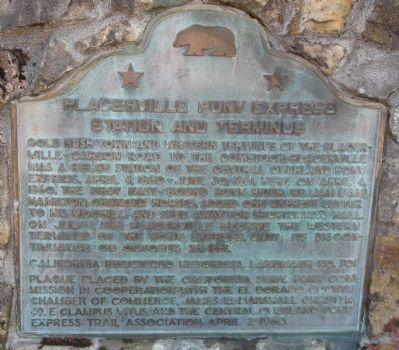
1. Placerville Pony Express Marker
Erected 1960 by The California State Park Commission in cooperation with the El Dorado County Chamber of Commerce, James W. Marshall Chapter 49, E Clampus Vitus and Central Overland Pony Express Trail Association. (Marker Number 701.)
Topics and series. This historical marker is listed in these topic lists: Industry & Commerce • Notable Places • Roads & Vehicles • Settlements & Settlers. In addition, it is included in the California Historical Landmarks, the E Clampus Vitus, and the Pony Express National Historic Trail series lists. A significant historical date for this entry is April 4, 1849.
Location. 38° 43.673′ N, 120° 48.197′ W.
this page online

Regionally, this marker is in the Sacramento Metro, in the Gold Country, and in the Sierra Nevada. It is also in the American Mountain West. Globally, it is in North America, on the Ring of Fire, on the Pacific Rim, in the Western Hemisphere, in the Western World, and in the Anglosphere. Historically, it finds itself in what was once New Spain and also Mexico’s Alta California.
Other nearby markers. At least 8 other markers are within walking distance of this marker: Snowshoe Thompson (here, next to this marker); John A. "Snowshoe" Thompson (a few steps from this marker); Bayles Building (1853) (within shouting distance of this marker); Hangmans Tree (about 300 feet away, measured in a direct line); Three Unfortunates Hanged (about 300 feet away); The Forum Café/Union Hotel/United States Trio Hall (about 400 feet away); Sgt. J. Scott Lindsay
Photographed by Syd Whittle, October 18, 2008
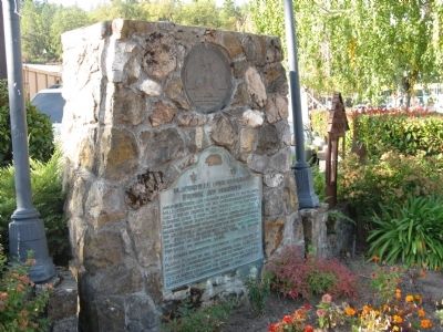
2. Placerville Pony Express Marker
Regarding Placerville Pony Express. This site has been designated as California Registered Historical Landmark No.701
Related markers. Click here for a list of markers that are related to this marker. Follow the first Eastbound journey of the Pony Express through California to Genoa, Nevada....To better understand the relationship, study each marker in the order shown.
Also see . . .
1. Pony Express – California Stations. (Submitted on October 20, 2008, by Syd Whittle of Mesa, Arizona.)
2. The Overland Pony Express – History: People-Places-Vocabulary-Dates. (Submitted on October 20, 2008, by Syd Whittle of Mesa, Arizona.)
March 5, 2022
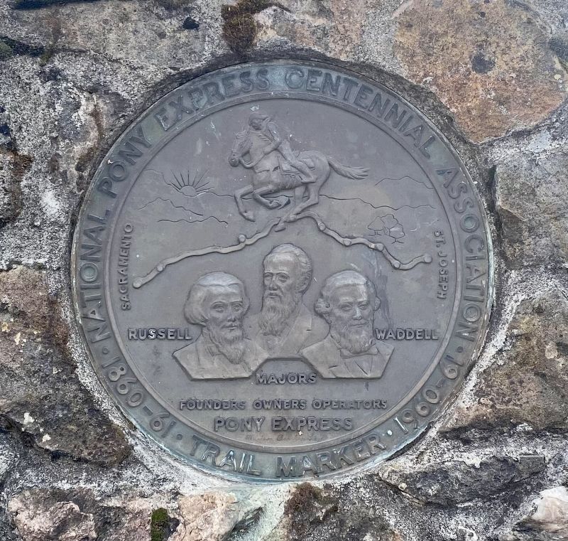
3. Placerville Pony Express Centennial Trail Marker
Photographed by Syd Whittle, October 18, 2008
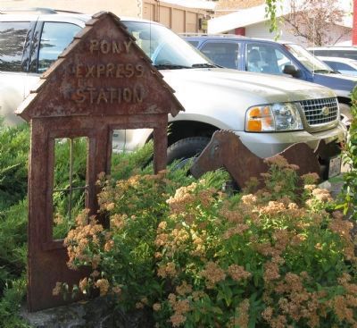
4. Pony Express Sculpture
Credits. This page was last revised on March 11, 2022. It was originally submitted on October 20, 2008, by Syd Whittle of Mesa, Arizona. This page has been viewed 3,692 times since then and 107 times this year. Last updated on July 30, 2012, by Michael Kindig of Elk Grove, California. Photos: 1, 2. submitted on October 20, 2008, by Syd Whittle of Mesa, Arizona. 3. submitted on March 11, 2022. 4. submitted on October 20, 2008, by Syd Whittle of Mesa, Arizona.
