Cheat Bridge in Randolph County, West Virginia — The American South (Appalachia)
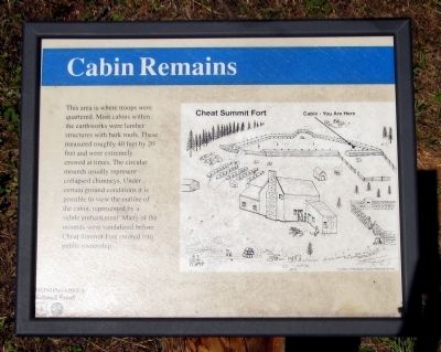
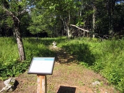
Cabin Remains
Erected by US Forest Service.
Topics. This historical marker is listed in these topic lists: Forts and Castles • War, US Civil.
Location. 38° 37.363′ N, 79° 52.726′ W. Marker is in Cheat Bridge, West Virginia, in Randolph County. Marker can be reached from County Route 250/4, 1.1 miles west of U.S. 250. Located in Fort Milroy. Touch for map. Marker is in this post office area: Huttonsville WV 26273, United States of America. Touch for directions.
Other nearby markers. At least 8 other markers are within 3 miles of this marker, measured as the crow flies. Astride the Road from Nowhere (within shouting distance of this marker); Guarding the Turnpike (within shouting distance of this marker); Behind the Parapet (about 300 feet away, measured in a direct line); Cheat Summit Fort (about 600 feet away); Shavers Fork (approx. 0.8 miles away); Cheat Summit Camp (approx. 0.9 miles away); Asa Gray / Buffalo-Indian Trail (approx. 0.9 miles away); Cheat Mountain (approx. 2.3 miles away). Touch for a list and map of all markers in Cheat Bridge.
Credits. This page was last revised on June 16, 2016. It was originally submitted on August 10, 2012, by Bernard Fisher of Richmond, Virginia. This page has been viewed 551 times since then and 31 times this year. Photos: 1, 2. submitted on August 10, 2012, by Bernard Fisher of Richmond, Virginia.

