Urban Core in Jacksonville in Duval County, Florida — The American South (South Atlantic)
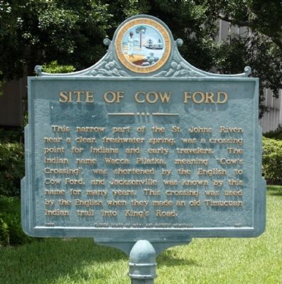
Site of Cow Ford
Erected 1961 by Florida Board of Parks and Historic Memorials. (Marker Number F-66.)
Topics. This historical marker is listed in these topic lists: Colonial Era • Settlements & Settlers.
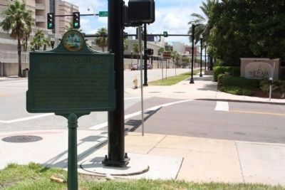
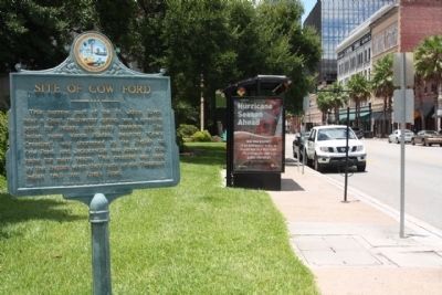
Location. 30° 19.498′ N, 81° 39.179′ W. Marker is in Jacksonville, Florida, in Duval County. It is in Urban Core. Marker is at the intersection of E Bay Street and S Liberty Street, on the right when traveling east on E Bay Street. Touch for map. Marker is in this post office area: Jacksonville FL 32202, United States of America. Touch for directions.
Other nearby markers. At least 8 other markers are within walking distance of this marker. Duval County's First Court (a few steps from this marker); Duval County (within shouting distance of this marker); The Plaza Building (about 300 feet away, measured in a direct line); The Beginning (about 500 feet away); Old Jacksonville Free Public Library (approx. ¼ mile away); "The Great Endurance Run" (approx. ¼ mile away); Seminole War Blockhouse Site (approx. 0.3 miles away); Florida Pharmacy Association (approx. 0.3 miles away). Touch for a list and map of all markers in Jacksonville.
Credits. This page was last revised on February 3, 2023. It was originally submitted on August 24, 2012, by Mike Stroud of Bluffton, South Carolina. This page has been viewed 2,442 times since then and 1,191 times this year. Photos: 1, 2, 3. submitted on August 24, 2012, by Mike Stroud of Bluffton, South Carolina.


