Near Burkittsville in Frederick County, Maryland — The American Northeast (Mid-Atlantic)
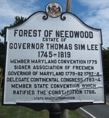
Forest of Needwood
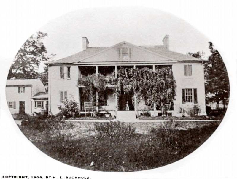
Estate of Governor Thomas Sim Lee
— 1745-1819 —
Signer Association of Freemen
Governor of Maryland 1779-82, 1792-4
Delegate Continental Congress 1783-4
Member state convention which ratified the Constitution 1788.
Erected by State Roads Commission.
Topics. This historical marker is listed in these topic lists: Government & Politics • War, US Revolutionary. A significant historical year for this entry is 1775.
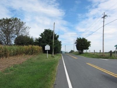
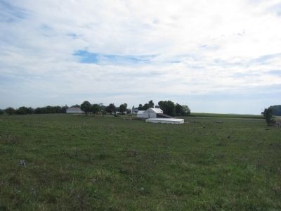
Location. 39° 22.029′ N, 77° 38.203′ W. Marker is near Burkittsville, Maryland, in Frederick County. Marker is at the intersection of Burkittsville Road (State Highway 17) and Lees Lane, on the right when traveling south on Burkittsville Road. Touch for map. Marker is in this post office area: Burkittsville MD 21718, United States of America. Touch for directions.
Other nearby markers. At least 8 other markers are within 3 miles of this marker, measured as the crow flies. The Hamilton Willard Shafer Farm (approx. 1.6 miles away); Brownsville-Burkittsville Pass (approx. 1.6 miles away); St. Luke’s Episcopal Church (approx. 1.7 miles away); Battle of Maryland Heights (approx. 1.8 miles away); Burkittsville (approx. 1.9 miles away); Cobbled Stagecoach Stop (approx. 1.9 miles away); Confederate Forces (approx. 2.1 miles away); “Sealed With Their Lives” (approx. 2.4 miles away). Touch for a list and map of all markers in Burkittsville.
Credits. This page was last revised on March 29, 2024. It was originally submitted on August 26, 2012, by Craig Swain of Leesburg, Virginia. This page has been viewed 1,416 times since then and 98 times this year. Photos: 1, 2, 3. submitted on August 26, 2012, by Craig Swain of Leesburg, Virginia. 4. submitted on March 29, 2024, by Allen C. Browne of Silver Spring, Maryland.


