Gainesville in Prince William County, Virginia — The American South (Mid-Atlantic)
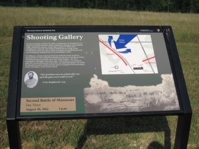
Shooting Gallery
Second Battle of Manassas
— Day Three - August 30, 1862 - 3 p.m. —
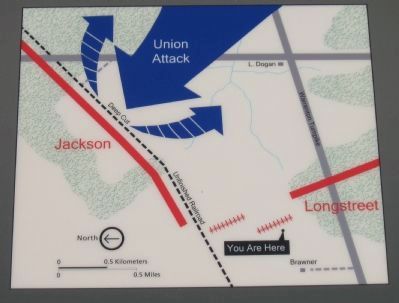
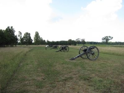
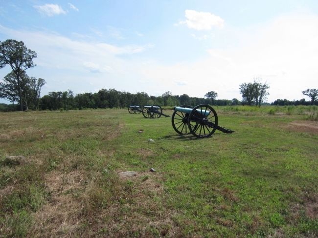
At 3:00 p.m., Union troops poured out of the Groveton woods to attack Jackson's line along the unfinished railroad. From this position, Confederate gunners had a clear view of the assault - the most formidable onslaught of the three days. The artillery concentrated their fire on the advancing enemy line, one-half mile ahead. The lethal bombardment kept reinforcements from crossing the field and helped ensure the failure of the Union attack.
"Our position was an admirable one and the guns were well served."
-Col. Stephen D. Lee.
Erected by Manassas National Battlefield Park - National Park Service - Department of the Interior.
Topics. This historical marker is listed in this topic list: War, US Civil. A significant historical year for this entry is 1862.
Location. 38° 48.82′ N, 77° 33.786′ W. Marker is in Gainesville, Virginia, in Prince William County. Marker can be reached from Pageland Lane (County Route 705), on the right when traveling north. Located on the Brawner Farm Loop Trail on the Manassas National Battlefield Park. Touch for map. Marker is at or near this postal address: 6501 Pageland Ln, Gainesville VA 20155, United States of America. Touch for directions.
Other nearby markers. At least 8 other markers are within walking distance of this marker. 2nd Wisconsin Infantry (within shouting distance of this marker); First Brigade (about 300 feet away, measured in a direct line); 26th Georgia Infantry (about 500 feet away); A Stand Up Fight (about 500 feet away); 19th Indiana Infantry (about 500 feet away); 7th Wisconsin Infantry (about 600 feet away); Jackson Strikes (about 600 feet away); Jackson Opens Fire (about 600 feet away). Touch for a list and map of all markers in Gainesville.
Also see . . . Old "Shooting Gallery". Old marker replaced by this new one. (Submitted on August 27, 2012, by Craig Swain of Leesburg, Virginia.)
Credits. This page was last revised on April 9, 2022. It was originally submitted on August 27, 2012, by Craig Swain of Leesburg, Virginia. This page has been viewed 788 times since then and 9 times this year. Photos: 1, 2, 3. submitted on August 27, 2012, by Craig Swain of Leesburg, Virginia. 4. submitted on September 1, 2012, by Craig Swain of Leesburg, Virginia.


