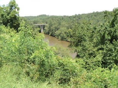
Bent Creek in Buncombe County, North Carolina — The American South (South Atlantic)
French Broad River
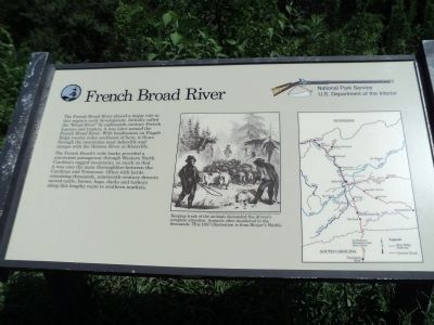
The French Broad River played a major role in this regionís early development. Initially called the “Broad River” by eighteenth-century French hunters and traders, it was later named the French Broad River. With headwaters on Pisgah Ridge twenty miles southeast of here, it flows through the mountains near Asheville and merges with the Holston River at Knoxville.
The French Broadís wide banks provided a convenient passageway through Western North Carolinaís rugged mountains, so much so that it was once the main thoroughfare between the Carolinas and Tennessee. Often with herds containing thousands, nineteenth-century drovers moved cattle, horses, hogs, ducks and turkeys along this lengthy route to southern markets.
Erected by National Park Service.
Topics and series. This historical marker is listed in these topic lists: Settlements & Settlers • Waterways & Vessels. In addition, it is included in the Blue Ridge Parkway series list.
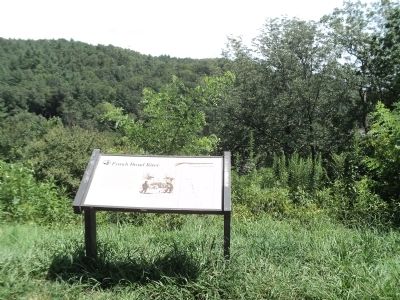
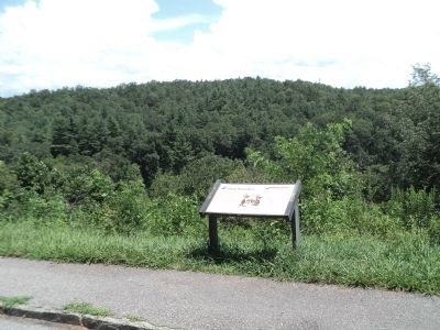
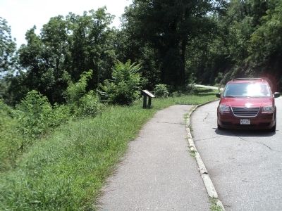
Location. 35° 29.85′ N, 82° 35.619′ W. Marker is in Bent Creek, North Carolina, in Buncombe County. Marker is at the intersection of Blue Ridge Parkway (at milepost 394) and North Carolina Highway 191, on the right when traveling north on Blue Ridge Parkway. Marker is located on the Blue Ridge Parkway, near the NC 191 crossover. Touch for map. Marker is in this post office area: Asheville NC 28806, United States of America. Touch for directions.
Other nearby markers. At least 8 other markers are within 4 miles of this marker, measured as the crow flies. Dr. L.B. McBrayer (approx. ĺ mile away); The Quilt Garden (approx. 0.8 miles away); Landsman Riley Powers (approx. 3.2 miles away); Rutherford Trace (approx. 3Ĺ miles away); Exploring Deer Park Trail (approx. 3.7 miles away); Frederick Law Olmsted (approx. 3.7 miles away); Shrub Garden (approx. 3.7 miles away); Welcome to Biltmore's Historic Gardens (approx. 3.7 miles away).
More about this marker. The right side of the marker features a map of the area showing the Blue Ridge Parkway and Droverís Roads. Next to this is an etching, courtesy of the North Carolina Collection, Pack Memorial Library, Asheville, North Carolina. It has a caption of “Keeping track of the animals demanded the droverís complete attention. Animals often numbered in the thousands. This 1857 illustration is from Harperís Weekly.”
Credits. This page was last revised on March 4, 2021. It was originally submitted on August 29, 2012, by Bill Coughlin of Woodland Park, New Jersey. This page has been viewed 901 times since then and 46 times this year. Photos: 1, 2, 3, 4, 5. submitted on August 29, 2012, by Bill Coughlin of Woodland Park, New Jersey.
