Near Bolivar in Jefferson County, West Virginia — The American South (Appalachia)
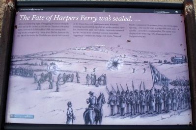
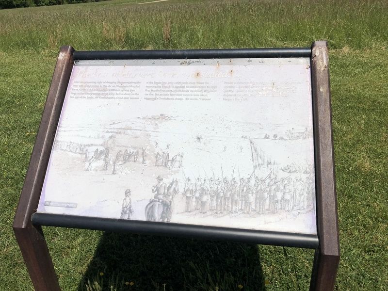
The Fate of Harpers Ferry was sealed.
A.P. Hill
— Harpers Ferry National Historical Park —
Erected by National Park Service, U.S. Department of the Interior.
Topics. This historical marker is listed in this topic list: War, US Civil.
Location. This marker has been replaced by another marker nearby. 39° 18.639′ N, 77° 45.652′ W. Marker is unreadable. Marker is near Bolivar, West Virginia, in Jefferson County. Marker can be reached from Shoreline Drive. Located on the Murphy Farm trail in the Harpers Ferry National Historical Park. Touch for map. Marker is in this post office area: Harpers Ferry WV 25425, United States of America. Touch for directions.
Other nearby markers. At least 8 other markers are within walking distance of this location. Struggle to the Heights (about 500 feet away, measured in a direct line); From Civil War to Civil Rights / Battle of Harpers Ferry (about 600 feet away); Home Becomes Battlefield (about 600 feet away); Holy Ground (approx. 0.2 miles away); Pilgrimage (approx. 0.2 miles away); A Moving Symbol (approx. 0.2 miles away); The Murphy Farm (approx. 0.2 miles away); Mountains, Men, and Maneuvers (approx. ¼ mile away). Touch for a list and map of all markers in Bolivar.
Also see . . .
1. Battle of Hapers Ferry. Description from National Park Service (Submitted on March 2, 2008.)
2. Sharpsburg Battle Report of Gen. A.P. Hill. Includes details of the Harpers Ferry operations. The marker title is in this report. (Submitted on March 2, 2008.)
Additional keywords. The Fate of Harpers Ferry was sealed.
Photographed By Devry Becker Jones (CC0), May 21, 2021
2. The Fate of Harpers Ferry was sealed. Marker
Photographed By Devry Becker Jones (CC0), May 21, 2021
3. The Fate of Harpers Ferry was sealed. Marker
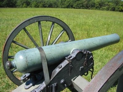
Photographed By Craig Swain, September 7, 2008
4. Confederate 6-pdr Gun
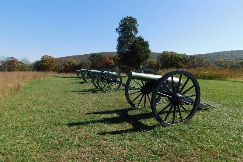
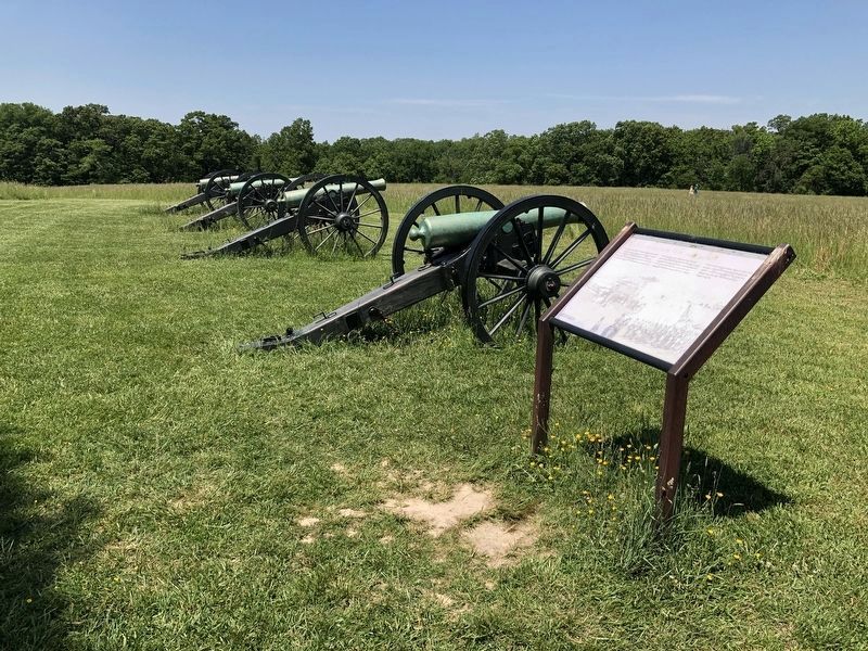
Next to the marker is a rather rare Confederate bronze 6-pdr Field Gun. The particular piece lacks any visible markings and cannot be matched to a specific manufacturer. Noteworthy is the smooth "bottle" type profile and the "bobbin" type knob at the breech.
Credits. This page was last revised on May 21, 2021. It was originally submitted on March 2, 2008. This page has been viewed 1,801 times since then and 23 times this year. Photos: 1. submitted on March 2, 2008. 2, 3. submitted on May 21, 2021, by Devry Becker Jones of Washington, District of Columbia. 4. submitted on November 3, 2008, by Craig Swain of Leesburg, Virginia. 5. submitted on April 24, 2021, by Bradley Owen of Morgantown, West Virginia. • Craig Swain was the editor who published this page.
