Near Presque Isle in Aroostook County, Maine — The American Northeast (New England)
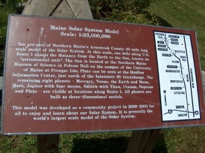
Maine Solar System Model
Scale: 1:93,000,000
Photographed by Cosmos Mariner, July 22, 2007
1. Maine Solar System Model
Topics. This historical marker is listed in these topic lists: Air & Space • Science & Medicine.
Location. 46° 36.216′ N, 67° 58.35′ W. Marker is near Presque Isle, Maine, in Aroostook County.
this page online

Regionally, this marker is in “The County”. It is also in the American Northeast and in New England. Globally, it is in North America, the Great North Woods, the Western Hemisphere, the Western World, and the Anglosphere. Historically, it finds itself in what was once the Viceroyalty of New France and also Acadia.
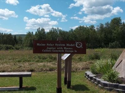
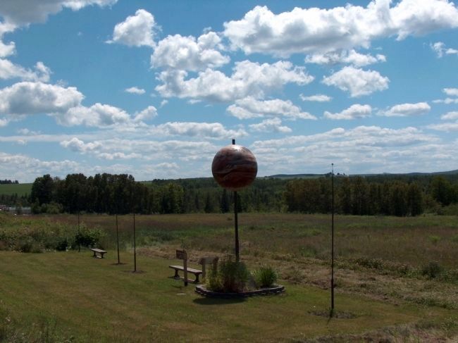
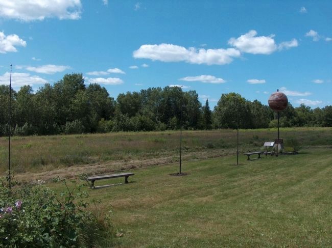
More about this marker. This marker is located with the Jupiter, part of a 40-mile long scale model of the Solar System along US Route 1.
Also see . . . Topsfield, 54 Miles South of Pluto: The Solar System in Maine. (Submitted on August 30, 2012, by Cosmos Mariner of Cape Canaveral, Florida.)
Photographed by Cosmos Mariner, July 22, 2007
2. Maine Solar System Model
Photographed by Cosmos Mariner, July 22, 2007
3. Jupiter & Moons
Photographed by Cosmos Mariner, July 22, 2007
4. Callisto, Ganymede, Europa, Jupiter & Io
Credits. This page was last revised on April 12, 2021. It was originally submitted on August 30, 2012, by Cosmos Mariner of Cape Canaveral, Florida. This page has been viewed 1,613 times since then and 73 times this year. Photos: 1, 2, 3, 4. submitted on August 30, 2012, by Cosmos Mariner of Cape Canaveral, Florida. • Bill Pfingsten was the editor who published this page.
