Near Manassas in Prince William County, Virginia — The American South (Mid-Atlantic)
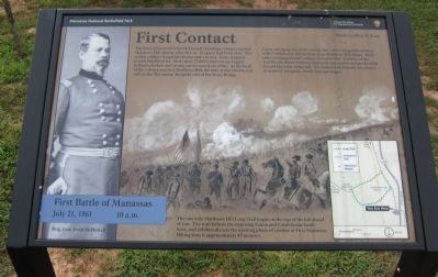
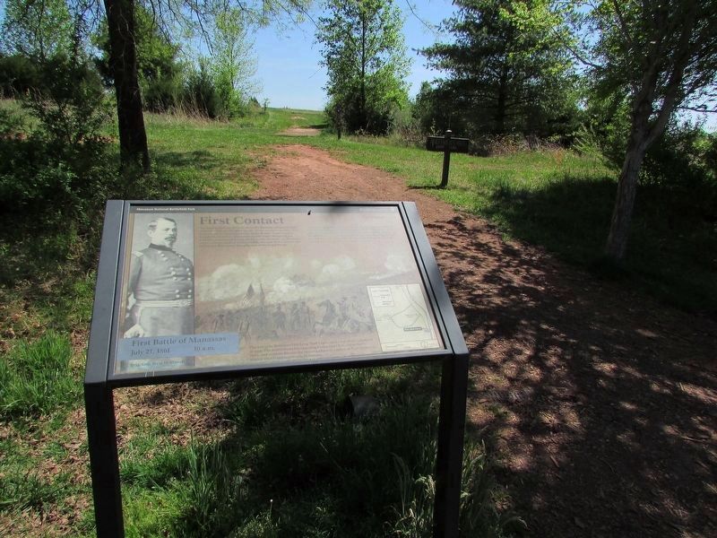
First Contact
First Battle of Manassas
— July 21, 1861 - 10 a.m. —
The head of General Irvin McDowell's flanking column reached Matthews Hill shortly after 10 a.m. Progress had been slow. The rookie soldiers frequently broke ranks to rest. Some stopped to pick blackberries. More than 13,000 Union troops lagged behind schedule and strung out for nearly six miles. As the head of the column reached Matthews Hill, the rear of the column was still on the Warrenton Turnpike east of the Stone Bridge.
Upon emerging out of the woods, the Union vanguard collided with Confederate skirmishers atop Matthews Hill ahead. Both sides exchanged brief volleys of musket fire. Soldiers of the 2nd Rhode Island Infantry deployed and started across the field toward the crest of the hill. For General McDowell, his chance at surprise was gone. Battle had just begun.
The one mile Matthews Hill Loop Trail begins at the top of the hill ahead of you. The trail follows the opposing Union and Confederate battle lines, and exhibits discuss the opening phase of combat at First Manassas. Hiking time is approximately 45 minutes.
Erected by National Park Service, U.S. Department of the Interior.
Topics. This historical marker is listed in this topic list: War, US Civil.
Location. 38° 49.592′ N, 77° 32.023′ W. Marker is near Manassas, Virginia, in Prince William County. Marker is on Sudley Road (State Highway 234), on the right when traveling south. Located in the parking lot for the Matthews Hill tour stop. Touch for map. Marker is in this post office area: Manassas VA 20109, United States of America. Touch for directions.
Other nearby markers. At least 8 other markers are within walking distance of this marker. Matthews Hill (within shouting distance of this marker); 2nd Rhode Island Infantry (about 600 feet away, measured in a direct line); Rhode Island Battery (approx. 0.2 miles away); The Fight for Matthews Hill (approx. 0.2 miles away); U.S. Infantry Battalion (approx. 0.2 miles away); 4th Alabama Infantry (approx. 0.2 miles away); The Matthew Farm (approx. 0.2 miles away); 2nd New Hampshire Infantry (approx. 0.2 miles away). Touch for a list and map of all markers in Manassas.
Also see . . . The Seventy-First Regiment. Older marker that stood at this location. (Submitted on August 31, 2012, by Craig Swain of Leesburg, Virginia.)
Credits. This page was last revised on April 29, 2023. It was originally submitted on August 31, 2012, by Craig Swain of Leesburg, Virginia. This page has been viewed 651 times since then and 14 times this year. Photos: 1. submitted on August 31, 2012, by Craig Swain of Leesburg, Virginia. 2. submitted on April 29, 2023, by Bill Coughlin of Woodland Park, New Jersey. 3. submitted on August 31, 2012, by Craig Swain of Leesburg, Virginia.


