Chattanooga in Hamilton County, Tennessee — The American South (East South Central)
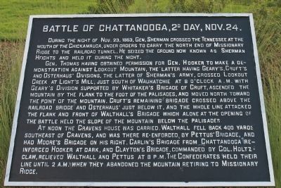
Battle of Chattanooga, 2d Day, Nov. 24.
Gen. Thomas having obtained permission for Gen. Hooker to make a demonstration against Lookout Mountain, the latter having Geary's, Cruft's and Osterhaus' Divisions, the latter of Sherman's Army, crossed Lookout Creek at Light's Mill, just south of Wauhatchie at 8 o'clock A.M. with Geary's Division supported by Whitaker's Brigade of Cruft, ascended the mountain by the flank to the foot of the palisades, and moved north toward the point of the mountain. Cruft's remaining brigade crossed above the railroad bridge and Osterhaus' just below it, and the whole line attacked the flank and front of Walthall's Brigade which alone at the opening of the battle held the slope of the mountain below the palisades.
At noon the Cravens House was carried. Walthall fell back 400 yards southeast of Cravens, and was there re-enforced by Pettus' Brigade, and had Moore's Brigade on his right. Carlin's Brigade from Chattanooga re-enforced Hooker at dark, and Clayton's Brigade, commanded by Col. Holtzclaw, relieved Walthall and Pettus at 8 P.M. The Confederates held their line until 2 A.M. when they abandoned the mountain retiring to Missionary Ridge.
Erected 1890 by the Chickamauga-Chattanooga National Battlefield Commission. (Marker Number MT-2.)
Topics. This historical marker is listed in this topic list: War, US Civil. A significant historical date for this entry is October 23, 1863.
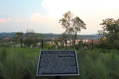
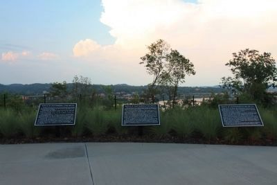
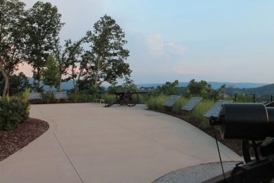
Location. 35° 3.245′ N, 85° 18.989′ W. Marker is in Chattanooga, Tennessee, in Hamilton County. Marker is on Cameron Lane north of Gateway Avenue, on the right when traveling north. This historic marker is located between the northwest side of the downtown business district and the Tennessee River, up on Cameron Hill, overlooking the Tennessee River, in Boynton Park. Touch for map. Marker is in this post office area: Chattanooga TN 37402, United States of America. Touch for directions.
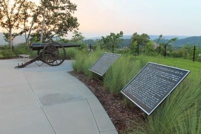
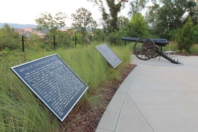
Other nearby markers. At least 8 other markers are within walking distance of this marker. Battle of Chattanooga, 1st Day, Nov. 23 (here, next to this marker); Battle of Chattanooga, 3d Day, Nov. 25. (here, next to this marker); Boynton Park (a few steps from this marker); Negley's and Wilder's Demonstrations Against Chattanooga (a few steps from this marker); Re-Opening the Tennessee River (a few steps from this marker); Cameron Hill (approx. 0.2 miles away); Hazen's Raid at Brown's Ferry (approx. ¼ mile away); "Cherokee" (approx. 0.3 miles away). Touch for a list and map of all markers in Chattanooga.

Photographed By Dale K. Benington, July 27, 2017
7. Battle of Chattanooga, 2d Day, Nov. 24. Marker
View of page 2 from the National Park Service’s record book on the Chattanooga - Chickamauga ”MT-numbered” listings of classified structures, which is kept in the Chickamauga Battlefield Park's Visitor Center.
Credits. This page was last revised on July 11, 2019. It was originally submitted on September 2, 2012, by Dale K. Benington of Toledo, Ohio. This page has been viewed 717 times since then and 30 times this year. Photos: 1, 2, 3, 4, 5, 6. submitted on September 2, 2012, by Dale K. Benington of Toledo, Ohio. 7. submitted on August 29, 2017, by Dale K. Benington of Toledo, Ohio.
