Oakton in Fairfax County, Virginia — The American South (Mid-Atlantic)
Historic Cemeteries
Flint Hill & Oakton Church of the Brethren
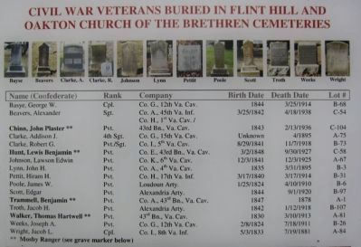
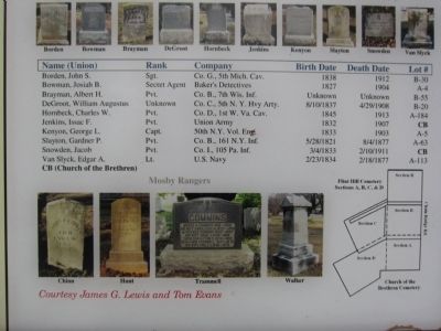
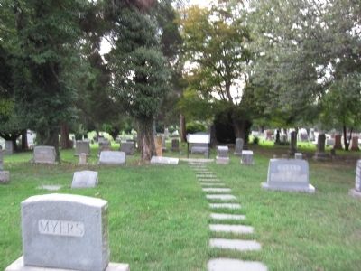
Before you is Flint Hill Cemetery, the resting place of many of this area's most prominent Civil War-era civilian and military figures. Twenty-four veterans, including four who served in Confederate Col. John S. Mosby's Partisan Rangers, are buried here. This is believed to be one of the oldest community cemeteries in Fairfax County. The first documented burial occurred in 1852, when present-day Oakton was called Flint Hill.
Josiah B. Bowman, who owned Ayr Hill in Vienna and served as one of Union Gen. Lafayette C. Baker's detectives, a forerunner of the Secret Service, is buried just in front of you. The Lydecker/Freeman family memorial stands behind Bowman's grave. The family-owned store and residence on Church Street in Vienna was listed on the National Register of Historic Places in 2012. It was once of these polling places in Fairfax County where the majority of male residents voted against the Ordinance of Secession on May 23, 1861.
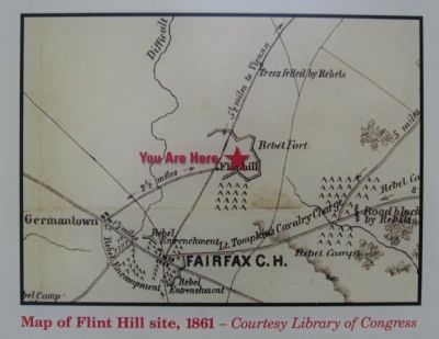
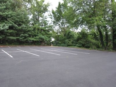
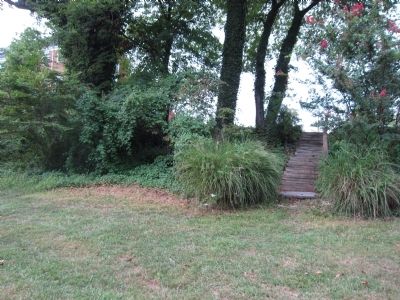
The Oakton Church of the Brethren and cemetery are directly behind you. During the congregation's first meeting, on December 25, 1902, it debated whether to build the church there on the site of a Confederate fort. Those who "believed it was good to change a place of war into one of peace" prevailed. The fort faced Vienna, and its front wall is still intact behind the church and parking lot. In this cemetery, Union Pvt. Isaac F. Jenkins is buried on your right beneath the headstone marked "Soldier," and Union Pvt. Jacob Snowden, Co. I, 105th Pennsylvania Infantry, lies under the flat grave marker behind you on your left.
Erected 2012 by Virginia Civil War Trails.
Topics and series. This historical marker is listed in these topic lists: Cemeteries & Burial Sites • War, US Civil. In addition, it is included in the Virginia Civil War Trails series list. A significant historical month for this entry is May 1851.
Location. 38° 52.94′ N, 77° 17.586′ W. Marker is in Oakton, Virginia, in Fairfax County. Marker is at the intersection of Courthouse Road and Chain Bridge Road (Virginia Highway 123), on the right when traveling east on Courthouse Road. Touch for map. Marker is at or near this postal address: 10025 Courthouse Rd, Vienna VA 22181, United States of America. Touch for directions.
Other nearby markers. At least 8 other markers are within 2 miles of this marker, measured as the crow flies. Chain Bridge Road and Hunter Mill Road, Oakton, Virginia (approx. 0.4 miles away); Ira Noel Gabrielson (approx. half a mile away); Second and Third Oakton Schools (1874-1912) (approx. half a mile away); The Beginning of Oakton Schools (1848-1873) (approx. half a mile away); Hunter Mill Road (approx. half a mile away); First Baptist Church of Vienna
(approx. 1.2 miles away); Peyton Anderson (approx. 1.4 miles away); Grandma's Cottage (approx. 1.8 miles away). Touch for a list and map of all markers in Oakton.
Credits. This page was last revised on May 16, 2022. It was originally submitted on September 2, 2012, by Craig Swain of Leesburg, Virginia. This page has been viewed 1,082 times since then and 56 times this year. Photos: 1, 2, 3, 4, 5, 6, 7. submitted on September 2, 2012, by Craig Swain of Leesburg, Virginia.

