Near Marienville in Forest County, Pennsylvania — The American Northeast (Mid-Atlantic)
Pigeon
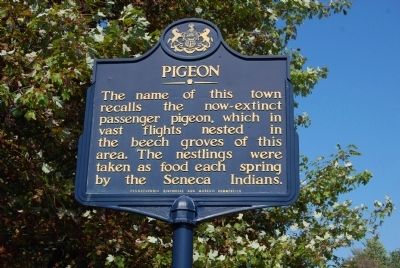
Photographed by Mike Wintermantel, August 31, 2012
1. Pigeon Marker
The name of this town recalls the now-extinct passenger pigeon, which in vast flights nested in the beech groves of this area. The nestlings were taken as food each spring by the Seneca Indians.
Erected 1948 by Pennsylvania Historical and Museum Commission.
Topics and series. This historical marker is listed in these topic lists: Animals • Indigenous Peoples and Communities. In addition, it is included in the Pennsylvania Historical and Museum Commission (PHMC) series list.
Location. Marker is missing. It was located near 41° 31.527′ N, 79° 3.37′ W. Marker was near Marienville, Pennsylvania, in Forest County. It was at the intersection of Pennsylvania Route 66 and Pigeon Lane, on the left when traveling north on Pennsylvania Route 66. Touch for map. Marker was in this post office area: Marienville PA 16239, United States of America. Touch for directions.

Regionally, this marker was in Northwestern Pennsylvania and specifically in the Pennsylvania Wilds. It was also in the American Northeast, in the Mid-Atlantic, in Appalachia, and specifically in Northern
this page online
Other nearby markers. At least 8 other markers are within 13 miles of this location, measured as the crow flies: Minenwerfer Trench Mortar (approx. 4.7 miles away); Forest County Veterans Club Memorial (approx. 4.7 miles away); Marienville (approx. 5.2 miles away); North Country National Scenic Trail (approx. 7.7 miles away); Iroquois Main Road (approx. 10.6 miles away); S/Sgt. John G. Gertsch (approx. 12.1 miles away); Sheffield Memorial Park (approx. 12.1 miles away); Sheffield (approx. 12.2 miles away). Touch for a list and map of all markers in Marienville.
Also see . . .
1. Pigeon - Behind the Marker. ExplorePAHistory.com (Submitted on September 4, 2012, by Mike Wintermantel of Pittsburgh, Pennsylvania.)
2. Passenger pigeon. Wikipedia entry (Submitted on April 26, 2022, by Larry Gertner of New York, New York.)
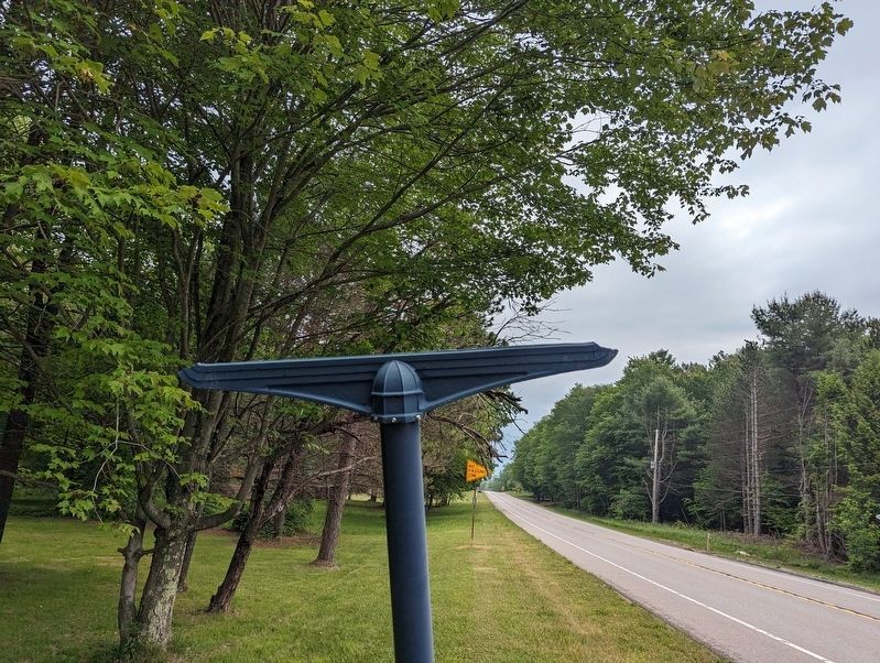
Photographed by Mike Wintermantel, June 16, 2023
2. Pigeon Marker
Marker is missing
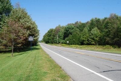
Photographed by Mike Wintermantel, August 31, 2012
3. Pigeon Marker
Credits. This page was last revised on June 17, 2023. It was originally submitted on September 3, 2012, by Mike Wintermantel of Pittsburgh, Pennsylvania. This page has been viewed 2,462 times since then and 86 times this year. Photos: 1. submitted on September 3, 2012, by Mike Wintermantel of Pittsburgh, Pennsylvania. 2. submitted on June 17, 2023, by Mike Wintermantel of Pittsburgh, Pennsylvania. 3. submitted on September 3, 2012, by Mike Wintermantel of Pittsburgh, Pennsylvania.
