Near Sharpsburg in Washington County, Maryland — The American Northeast (Mid-Atlantic)
The Roulette Farm
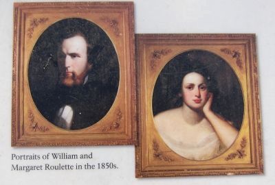
William Roulette
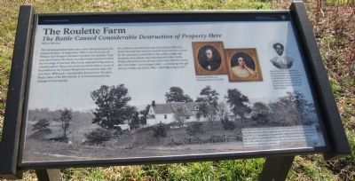
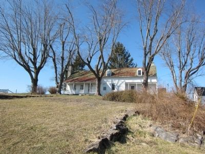
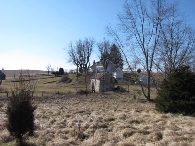
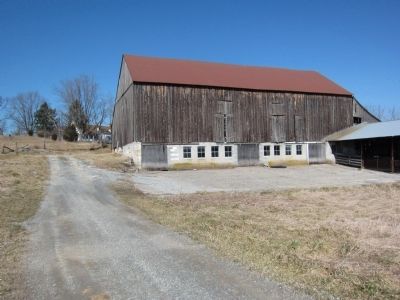
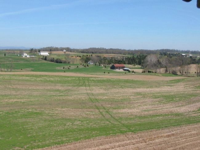
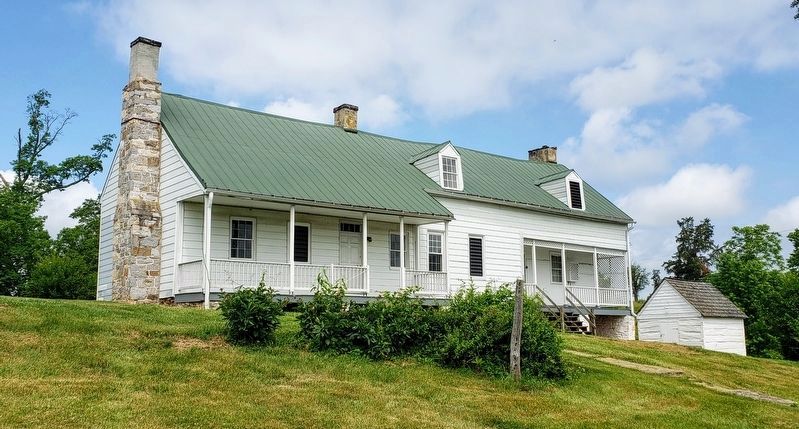
This farmstead dates from a time when Sharpsburg was the western frontier. In September 1862, it was the home of William and Margaret Roulette and their six children. They evacuated before the battle, but afterwards returned to find the wreckage of war and their home and yard being used as a field hospital. Then, over seven hundred soldiers (most of them killed at the Sunken Road) were buried on their 180 acre farm. With such "considerable destruction," Roulette filed a claim of $2,496 with the U.S. Government for damage to his property.
No civilians were killed the day of the battle. However many died over the next few months from diseases caused by the unsanitary conditions in the soldier camps and hospitals, mass graves and contaminated water. Sadly, William Roulette wrote of one victim who died five weeks after the battle, "our youngest died ...a charming little girl twenty months old Carrie May - just beginning to talk."
(Caption for Background Photo):
This photo was taken from the west side of the house just after the battle. The 130th Pennsylvania Infantry marched past the house on their way to the Sunken Road. Pvt. J.D. Hemmingen remembered a "large barn, wagon shed, stone wall on which stood the garden fence, the dwelling house and a spring house." The 130th suffered an attack by bees when the Roulette family hives were knocked over during their advance.
Erected by Antietam National Battlefield - National Park Service - Department of the Interior.
Topics. This historical marker is listed in this topic list: War, US Civil. A significant historical month for this entry is September 1862.
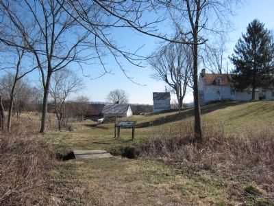
Location. 39° 28.539′ N, 77° 44.304′ W. Marker is near Sharpsburg, Maryland, in Washington County. Marker can be reached from Mummas Lane, on the right when traveling south. Located on the Three Farms Trail at Antietam National Battlefield. Touch for map. Marker is in this post office area: Sharpsburg MD 21782, United States of America. Touch for directions.
Other nearby markers. At least 8 other markers are within walking distance of this marker. Mumma Farm Lane (approx. 0.2 miles away); Historic Cemetery (approx. ¼ mile away); I Found the Enemy in Great Force (approx. ¼ mile away); “A Thrilling Spectacle” (approx. ¼ mile away); "A House Was Burning" (approx. ¼ mile away); a different marker also named A House Was Burning (approx. ¼ mile away); 5th Md. Vet. Vol. Infy. (approx. ¼ mile away); Fourteenth Connecticut Volunteer Infantry (approx. ¼ mile away). Touch for a list and map of all markers in Sharpsburg.
Photographed By Craig Swain, February 20, 2012
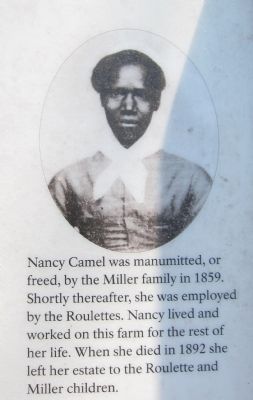
3. Nancy Camel
Nancy Camel was manumitted, or freed, by the Miller family in 1859. Shortly thereafter, she was employed by the Roulettes. Nancy lived and worked on this farm for the rest of her life. When she died in 1892 she left her estate to the Roulette and Miller children.
Credits. This page was last revised on March 26, 2021. It was originally submitted on September 3, 2012, by Craig Swain of Leesburg, Virginia. This page has been viewed 883 times since then and 50 times this year. Photos: 1, 2, 3, 4. submitted on September 3, 2012, by Craig Swain of Leesburg, Virginia. 5. submitted on October 18, 2017, by J. Makali Bruton of Accra, Ghana. 6, 7, 8, 9. submitted on September 3, 2012, by Craig Swain of Leesburg, Virginia. 10. submitted on March 25, 2021, by Bradley Owen of Morgantown, West Virginia.
