Bailey's Crossroads in Fairfax County, Virginia — The American South (Mid-Atlantic)
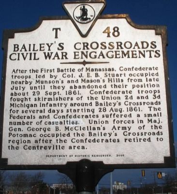
Bailey’s Crossroads Civil War Engagements
Erected 2000 by Department of Historic Resources. (Marker Number T-48.)
Topics and series. This historical marker is listed in this topic list: War, US Civil. In addition, it is included in the Virginia Department of Historic Resources (DHR) series list. A significant historical date for this entry is September 29, 1861.
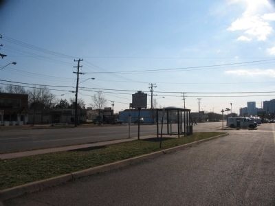
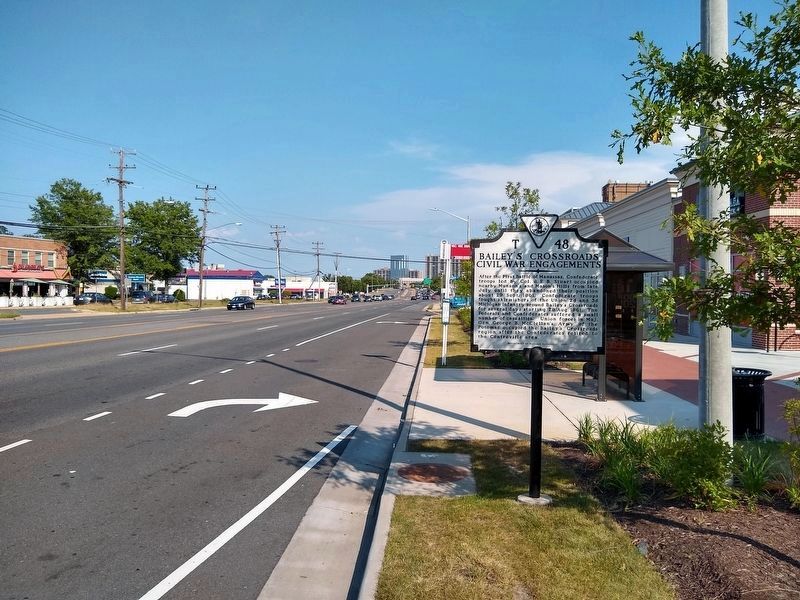
Location. 38° 51.185′ N, 77° 8.075′ W. Marker is in Bailey's Crossroads, Virginia, in Fairfax County. Marker is at the intersection of Leesburg Pike (State Highway 7) and Washington Drive, on the right when traveling east on Leesburg Pike. Touch for map. Marker is at or near this postal address: 5885 Leesburg Pike, Falls Church VA 22041, United States of America. Touch for directions.
Other nearby markers. At least 8 other markers are within walking distance of this marker. Lincoln Reviews Troops at Bailey's Cross Roads (approx. 0.2 miles away); Bailey’s Crossroads (approx. ¼ mile away); Moses Ball Grant (approx. 0.6 miles away); Original Federal Boundary Stone, District of Columbia, Southwest 7 (approx. 0.7 miles away); J.E.B. Stuart at Munson’s Hill (approx. 0.7 miles away); Carlin Community Hall (approx. 0.8 miles away); Original Federal Boundary Stone, District of Columbia, Southwest 6 (approx. 0.8 miles away); The Ball-Carlin Cemetery (approx. 0.8 miles away).
Also see . . . The Battle of the Peach Orchard. A discussion of the skirmishing that occurred around Munson's and Mason's Hill. (Submitted on March 2, 2008, by Craig Swain of Leesburg, Virginia.)
Credits. This page was last revised on July 7, 2021. It was originally submitted on March 2, 2008, by Craig Swain of Leesburg, Virginia. This page has been viewed 3,510 times since then and 93 times this year. Photos: 1, 2. submitted on March 2, 2008, by Craig Swain of Leesburg, Virginia. 3. submitted on July 11, 2020, by Tom Bosse of Jefferson City, Tennessee.


