Bristow in Prince William County, Virginia — The American South (Mid-Atlantic)
Preparing for Battle
Bristoe Station
September 2, 2012
1. Preparing for Battle Marker
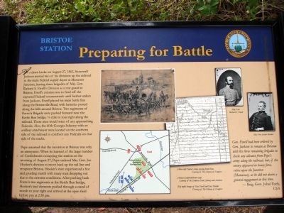
Pope assumed that the incursion at Bristoe was only an annoyance. When he learned of the large number of Confederates occupying the station on the morning of August 27, Pope ordered Maj. Gen. Joe Hooker’s division to move back up the rail line and recapture Bristoe. Hooker’s men experienced a hot and grueling march with many men dropping out due
this page online
(Sidebar): Gen. Ewell had been ordered by Gen. Jackson to remain at Bristow with his three remaining brigades to check any advance from Pope’s army along the railroad, but, if the enemy appeared in heavy force, retire upon the Junction (Manassas), as he did not desire a general engagement at this time. — Brig. Gen. Jubal Early, CSA
Erected 2012 by Prince William County Department of Public Works, Historic Preservation Division.
Topics. This historical marker is listed in this topic list: War, US Civil. A significant historical year for this entry is 1862.
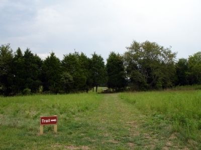
Location. 38° 43.281′ N, 77° 32.664′ W. Marker is in Bristow, Virginia, in Prince William County. It can be reached from Iron Brigade Unit Ave.. Marker is located on the 1861-1862 Trail at Bristoe Station Battlefield Heritage Park. Touch for map. Marker is in this post office area: Bristow VA 20136, United States of America. Touch for directions.

Regionally, this
September 2, 2012
2. Preparing for Battle Marker
Other nearby markers. At least 8 other markers are within walking distance of this marker: Deadly Day for the Excelsior Brigade (about 500 feet away); The "Tigers" of Louisiana (about 500 feet away); “We Shall Bag the Whole Crowd” (about 600 feet away); a different marker also named Battle Along the Railroad (about 700 feet away); Fight for a Pine Thicket (about 800 feet away); Confederates in Bristoe (approx. 0.2 miles away); Kettle Run's Aftermath (approx. ¼ mile away); Davis Family Farmstead (approx. ¼ mile away). Touch for a list and map of all markers in Bristow.
Other markers no longer
September 9, 2012
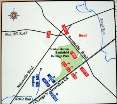
3. Close-up of Map on Marker
More about this marker. The marker displays (Above left) Federal Army crossing Kettle Run Courtesy of The Library of Congress, (Above) Campbell-Brown map Courtesy of the Tennessee State Library and Archives and (Top right) Images of Gen. Ewell and Gen. Hooker Courtesy of The Library of Congress. The two images are captioned Maj. Gen. Richard S. Ewell and Maj. Gen. Joseph Hooker.
The marker also displays a map of the area of the battlefield indicating troop positions and movements.
September 9, 2012
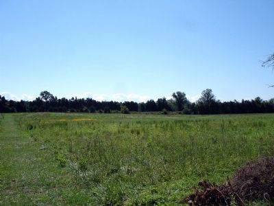
4. Southeast view to the railroad
Credits. This page was last revised on June 10, 2020. It was originally submitted on September 9, 2012. This page has been viewed 1,105 times since then and 43 times this year. Photos: 1, 2, 3, 4. submitted on September 9, 2012. • Craig Swain was the editor who published this page.
