Mercer in Iron County, Wisconsin — The American Midwest (Great Lakes)
Roddis Line – Turtle-Flambeau Dam
Iron County Heritage Area
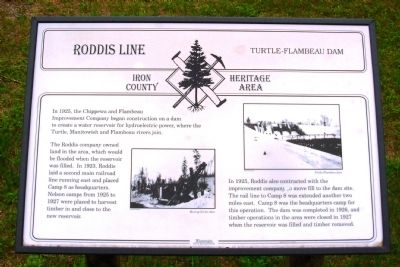
The Roddis company owned land in the area, which would be flooded when the reservoir was filled. In 1923, Roddis laid a second main railroad line running east and placed Camp 8 as headquarters. Nelson camps from 1925 to 1927 were placed to harvest timber in and close to the new reservoir.
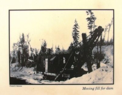
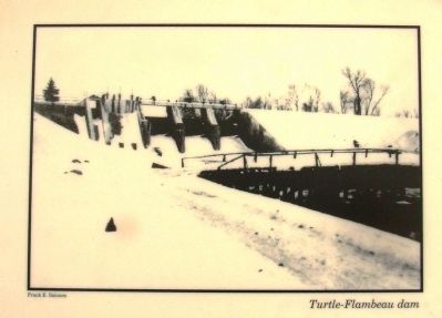
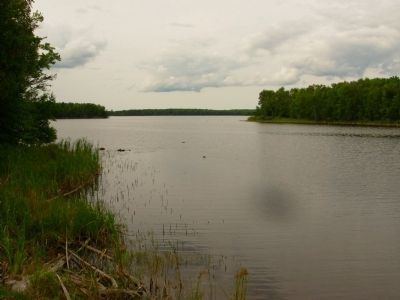
In 1925, Roddis also contracted with the improvement company to move fill to the dam site. The rail line to Camp 8 was extended another two miles east. Camp 8 was the headquarters camp for this operation. The dam was completed in 1926, and timber operations in the area were closed in 1927 when the reservoir was filled and timber removed.
Topics. This historical marker is listed in these topic lists: Industry & Commerce • Man-Made Features • Waterways & Vessels. A significant historical year for this entry is 1925.
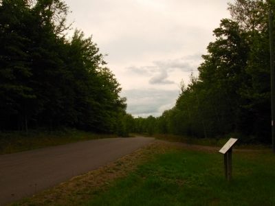
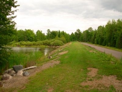
Location. 46° 4.327′ N, 90° 14.209′ W. Marker is in Mercer, Wisconsin, in Iron County. Marker is on Turtle Flambeau Dam Road, half a mile east of County Route FF, on the left when traveling east. Marker is located on the dam levee just west of the dam. Touch for map. Marker is in this post office area: Butternut WI 54514, United States of America. Touch for directions.
Other nearby markers. At least 8 other markers are within 7 miles of this marker, measured as the crow flies. Flambeau Trail – Turtle Flambeau Flowage Dam (about 700 feet away, measured in a direct line); Roddis Line - Roddis Lumber and Veneer Company (approx. 1.8 miles away); Roddis Line – Nelson Camp 1 (1925-1930) (approx. 1.8 miles away); a different marker also named Roddis Line – Nelson Camp 1 (1925-1930) (approx. 1.8 miles away); Roddis Line – Early Logging (approx. 1.8 miles away); Roddis Line – Life in Camp (approx. 1.8 miles away); a different marker also named Roddis Line - Roddis Lumber and Veneer Company (approx. 1.8 miles away); Flambeau Trail – Two Ways to Go (approx. 6˝ miles away). Touch for a list and map of all markers in Mercer.
Credits. This page was last revised on June 16, 2016. It was originally submitted on September 14, 2012, by Paul Fehrenbach of Germantown, Wisconsin. This page has been viewed 459 times since then and 20 times this year. Photos: 1, 2, 3, 4, 5, 6. submitted on September 14, 2012, by Paul Fehrenbach of Germantown, Wisconsin. • Bernard Fisher was the editor who published this page.
