Marker Logo HMdb.org THE HISTORICAL
MARKER DATABASE
“Bite-Size Bits of Local, National, and Global History”
Metamora in Franklin County, Indiana — The American Midwest (Great Lakes)
 

Whitewater Canal State Historic Site


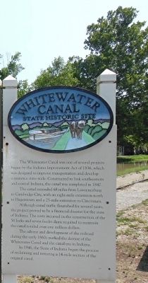
Whitewater Canal State Historic Site Marker image. Click for full size.
Photographed By Cosmos Mariner, July 25, 2012
1. Whitewater Canal State Historic Site Marker
Inscription.
The Whitewater Canal was one of several projects begun by the Indiana Improvement Act of 1836, which was designed to improve transportation and develop commerce state-wide. Constructed to link southeastern and central Indiana, the canal was completed in 1847.

The canal extended 68 miles from Lawrenceburg to Cambridge City, with an eight-mile extension north to Hagerstown and a 25-mile extension to Cincinnati.

Although canal traffic flourished for several years, the project proved to be a financial disaster for the state of Indiana.

The costs incurred in the construction of the 56 locks and seven feeder dams required to maintain the canal totaled over one million dollars.

The advent and development of the railroad during the early 1860s marked the demise of the Whitewater Canal and the canal era in Indiana.

In 1946, the State of Indiana began the process of reclaiming and restoring a 14-mile section of the original canal.
 
Topics. This historical marker is listed in these topic lists: Industry & CommerceWaterways & Vessels. A significant historical year for this entry is 1836.
 
Location. 39° 26.79′ N, 85° 7.951′ W. Marker is in Metamora, Indiana, in Franklin County. Marker is at the intersection of Pennington Road and Columbia Street, on the left when traveling east on Pennington

Paid Advertisement
Click on the ad for more information.
Please report objectionable advertising to the Editor.
Click or scan to see
this page online
Road. Marker is near the bridge which crosses the canal. Touch for map. Marker is in this post office area: Metamora IN 47030, United States of America. Touch for directions.
 
Other nearby markers. At least 8 other markers are within walking distance of this marker. Metamora Christian Church (a few steps from this marker); Stable (within shouting distance of this marker); Martindale Hotel (about 300 feet away, measured in a direct line); The Confectionary (about 300 feet away); Old Faulkner-Pierce Drug Store (about 300 feet away); Old Cobbler's Shop (about 300 feet away); Van Camp's Store (about 400 feet away); Metamora Masonic Lodge (about 400 feet away). Touch for a list and map of all markers in Metamora.
 
Regarding Whitewater Canal State Historic Site. Whitewater Canal follows the river of the same name and originated in the early 1800s with the need for improved transportation routes.
 
Also see . . .
1. Whitewater Canal. Wikipedia entry (Submitted on September 19, 2012, by Cosmos Mariner of Cape Canaveral, Florida.) 

2. Whitewater Canal State Historic Site. Museum website entry (Submitted on September 19, 2012, by Cosmos Mariner of Cape Canaveral, Florida.) 
 
Additional keywords. Canals & Locks
 
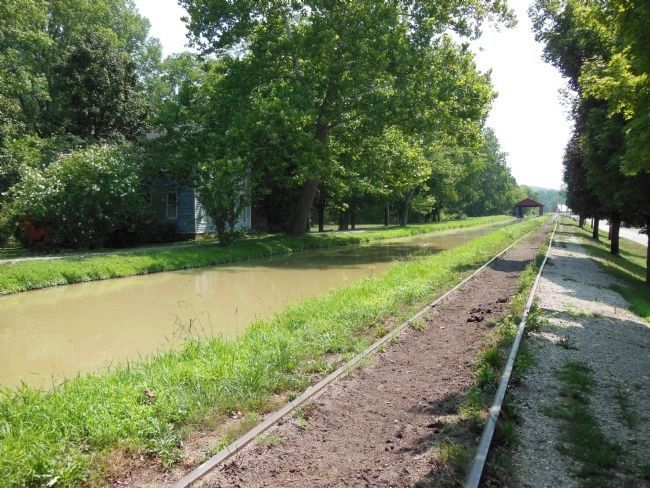
Whitewater Canal State Historic Site image. Click for full size.
Photographed By Cosmos Mariner, July 25, 2012
2. Whitewater Canal State Historic Site
View west along canal toward historic town of Metamora
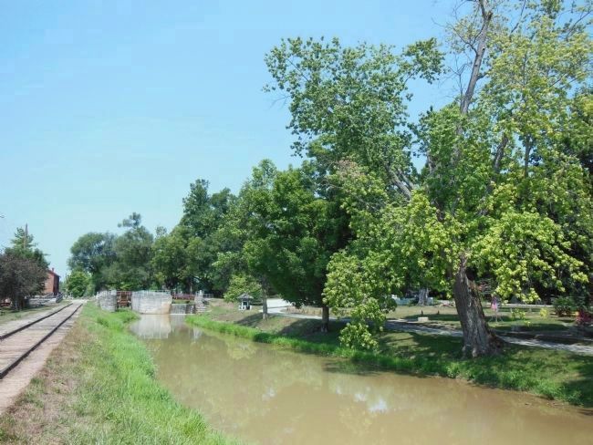
Whitewater Canal State Historic Site image. Click for full size.
Photographed By Cosmos Mariner, July 25, 2012
3. Whitewater Canal State Historic Site
View east along canal toward Duck Creek Aqueduct
Whitewater Canal State Historic Site image. Click for full size.
Photographed By Cosmos Mariner, July 25, 2012
4. Whitewater Canal State Historic Site
View west toward grist mill and canal lock
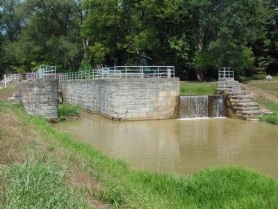
Whitewater Canal State Historic Site image. Click for full size.
Photographed By Cosmos Mariner, July 25, 2012
5. Whitewater Canal State Historic Site
Canal lock adjacent to grist mill
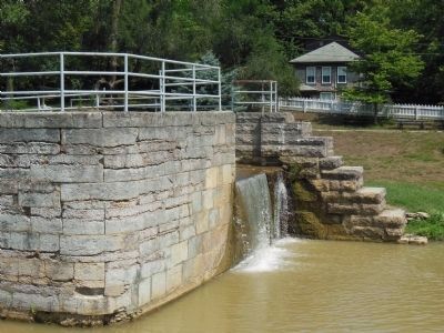
Whitewater Canal State Historic Site image. Click for full size.
Photographed By Cosmos Mariner, July 25, 2012
6. Whitewater Canal State Historic Site
Canal lock overflow
Whitewater Canal State Historic Site image. Click for full size.
Photographed By Cosmos Mariner, July 25, 2012
7. Whitewater Canal State Historic Site
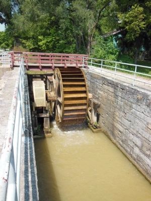
Mill wheel now operating inside old canal lock structure
Whitewater Canal State Historic Site image. Click for full size.
Photographed By Cosmos Mariner, July 25, 2012
8. Whitewater Canal State Historic Site
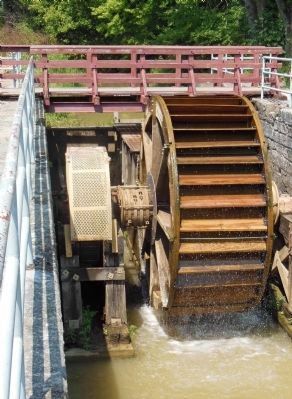
Mill wheel close-up
Whitewater Canal State Historic Site image. Click for full size.
Photographed By Cosmos Mariner, July 25, 2012
9. Whitewater Canal State Historic Site
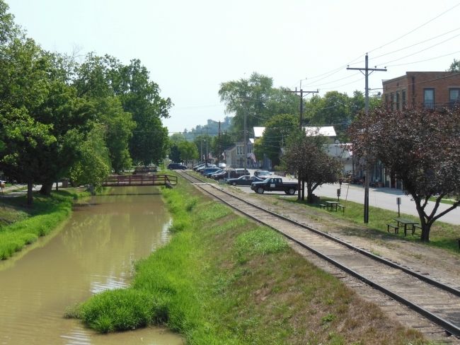
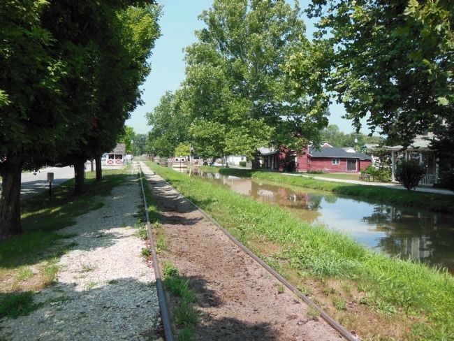
View of canal and railroad through town of Metamora
Whitewater Canal State Historic Site image. Click for full size.
Photographed By Cosmos Mariner, July 25, 2012
10. Whitewater Canal State Historic Site
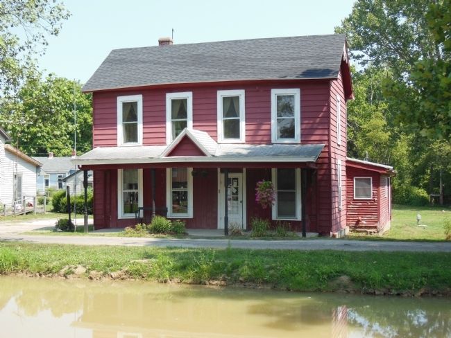
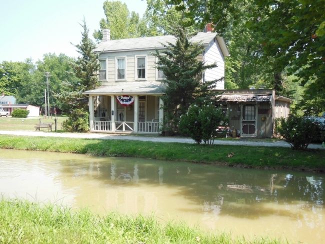
House alongside canal in Metamora
Whitewater Canal State Historic Site image. Click for full size.
Photographed By Cosmos Mariner, July 25, 2012
11. Whitewater Canal State Historic Site
House alongside canal in Metamora
 
 
Credits. This page was last revised on June 18, 2022. It was originally submitted on September 19, 2012, by Cosmos Mariner of Cape Canaveral, Florida. This page has been viewed 527 times since then and 23 times this year. Photos:   1, 2, 3, 4, 5, 6, 7, 8, 9, 10, 11. submitted on September 19, 2012, by Cosmos Mariner of Cape Canaveral, Florida. • Bill Pfingsten was the editor who published this page.
Share this page.  
Share on Tumblr
m=59608

CeraNet Cloud Computing sponsors the Historical Marker Database.
This website earns income from purchases you make after using our links to Amazon.com. We appreciate your support.
Paid Advertisement
Apr. 19, 2024