Great Falls in Fairfax County, Virginia — The American South (Mid-Atlantic)
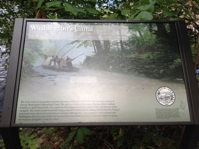
Washington's Canal
This will become the great avenue into the Western Country. - George Washington
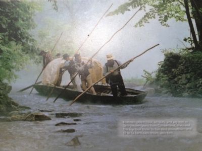
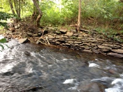
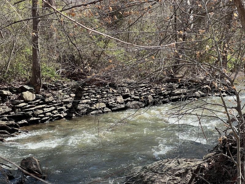
The stone wall you see nearby is not just any stone wall; it was built here in the late 1700s as part of George Washington's Patowmack Canal. The wall is a section of the Seneca Bypass, which enabled boatmen to skirt Seneca Falls. The canal was Washington's tireless project to make the Potomac River navigable. His dream would eventually bring commerce to the Atlantic seaboard from the Ohio country and points west, where few men had yet ventured. Although the canal company went bankrupt and Washington died two years before his canal system was finished in 1802, he had succeeded in making the Potomac navigable, if only for a time.
Erected by Northern Virginia Regional Park Authority.
Topics and series. This historical marker is listed in this topic list: Waterways & Vessels. In addition, it is included in the Former U.S. Presidents: #01 George Washington, and the NOVA Parks series lists. A significant historical year for this entry is 1802.
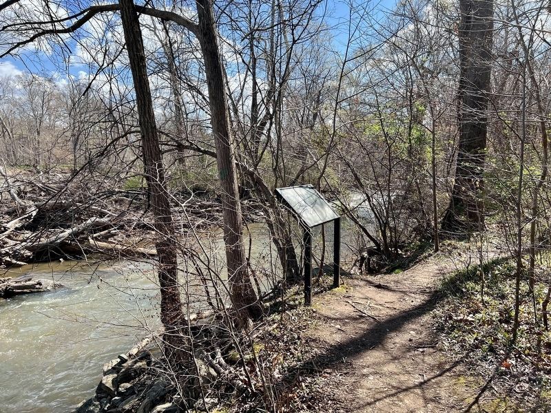
Location. 39° 3.44′ N, 77° 19.61′ W. Marker is in Great Falls, Virginia, in Fairfax County. Marker can be reached from Seneca Road, on the right when traveling north. Located on a trail through the "Seneca Tract" park. Touch for map. Marker is in this post office area: Great Falls VA 22066, United States of America. Touch for directions.
Other nearby markers. At least 8 other markers are within 2 miles of this marker, measured as the crow flies. Potomac Connections (approx. half a mile away); Seneca Tract (approx. half a mile away); Rowser's Ford (approx. half a mile away); Crossing the Potomac at Rowser's Ford (approx. half a mile away); The Kelley Home (approx. 0.6 miles away); Seneca (approx. 1.1 miles away in Maryland); a different marker also named Rowser’s Ford (approx. 1.1 miles away in Maryland); a different marker also named Rowser’s Ford (approx. 1.2 miles away in Maryland). Touch for a list and map of all markers in Great Falls.
Photographed By Craig Swain, September 9, 2012
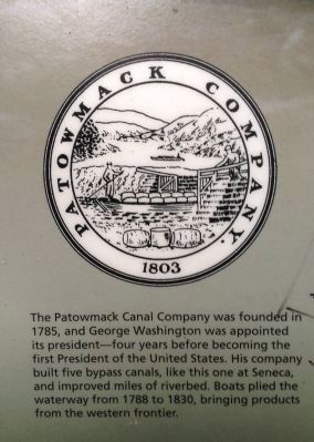
3. Patowmack Canal Company Logo
The Patowmack Canal Company was founded in 1785, and George Washington was appointed its president - four years before becoming the first President of the United States. His company built five bypass canals, like this one at Seneca, and improved miles of riverbed. Boats plied the waterway from 1788 to 1830, bringing products from the western frontier.
Credits. This page was last revised on March 30, 2023. It was originally submitted on September 22, 2012, by Craig Swain of Leesburg, Virginia. This page has been viewed 653 times since then and 30 times this year. Photos: 1, 2, 3. submitted on September 22, 2012, by Craig Swain of Leesburg, Virginia. 4. submitted on March 29, 2023, by Patricia Strat of Oakton, Virginia. 5. submitted on September 22, 2012, by Craig Swain of Leesburg, Virginia. 6. submitted on March 29, 2023, by Patricia Strat of Oakton, Virginia.
