Fort Davis in Jeff Davis County, Texas — The American South (West South Central)
Barry Scobee Mountain
1 Mi. North 6300 Ft. Elev.
Photographed by Kayla Harper, July 6, 2023
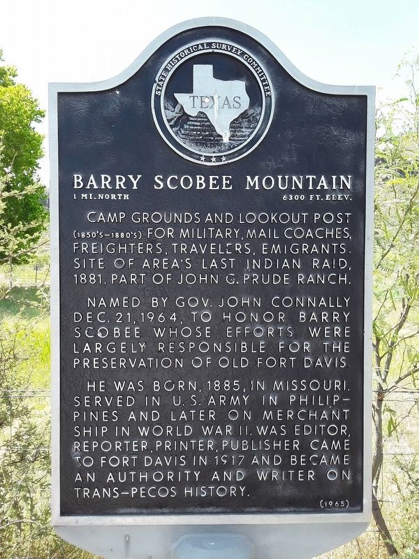
1. Barry Scobee Mountain Marker
Camp grounds and lookout post (1850's-1880's) for military, mail coaches, freighters, travelers, emigrants. Site of area's last Indian raid, 1881. Part of John G. Prude Ranch.
Named by Gov. John Connally Dec. 21, 1964, to honor Barry Scobee whose efforts were largely responsible for the preservation of old Fort Davis.
He was born, 1885, in Missouri. Served in U. S. Army in Philippines and later on merchant ship in World War II. Was editor, reporter, printer, publisher. Came to Fort Davis in 1917 and became an authority and writer on Trans-Pecos history.
Erected 1965 by State Historical Survey Committee. (Marker Number 10487.)
Topics. This historical marker is listed in these topic lists: Forts and Castles • Wars, US Indian. A significant historical date for this entry is December 21, 1850.
Location. 30° 36.59′ N, 103° 52.738′ W. Marker is in Fort Davis, Texas, in Jeff Davis County. It is at the intersection of State Highway 17 and Espy Place, on the left when traveling north on State Highway 17. Touch for map. Marker is in this post office area: Fort Davis TX 79734, United States of America. Touch for directions.

Regionally,
this page online
Other nearby markers. At least 8 other markers are within 2 miles of this marker, measured as the crow flies: Granado Mountain (here, next to this marker); Supporting the Army (approx. one mile away); The Post Chapel (approx. one mile away); Legend - Fort Davis (approx. 1.1 miles away); Commanding Officer's Quarters (approx. 1.1 miles away); St. Joseph Catholic Church (approx. 1.2 miles away); Fort Davis (approx. 1.2 miles away); Food & Shelter (approx. 1.2 miles away). Touch for a list and map of all markers in Fort Davis.
Related marker. Click here for another marker that is related to this marker. Markers relating to the San Antonio - El Paso Road and Fort Davis
Photographed by Richard Denney, September 10, 2012
2. Barry Scobee Mountain Marker
Photographed by Richard Denney, September 10, 2012
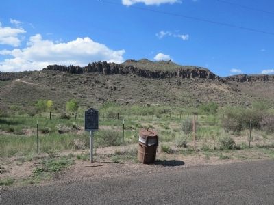
3. Barry Scobee Mountain Marker - Older photo with one marker
Photographed by Kayla Harper, July 6, 2023
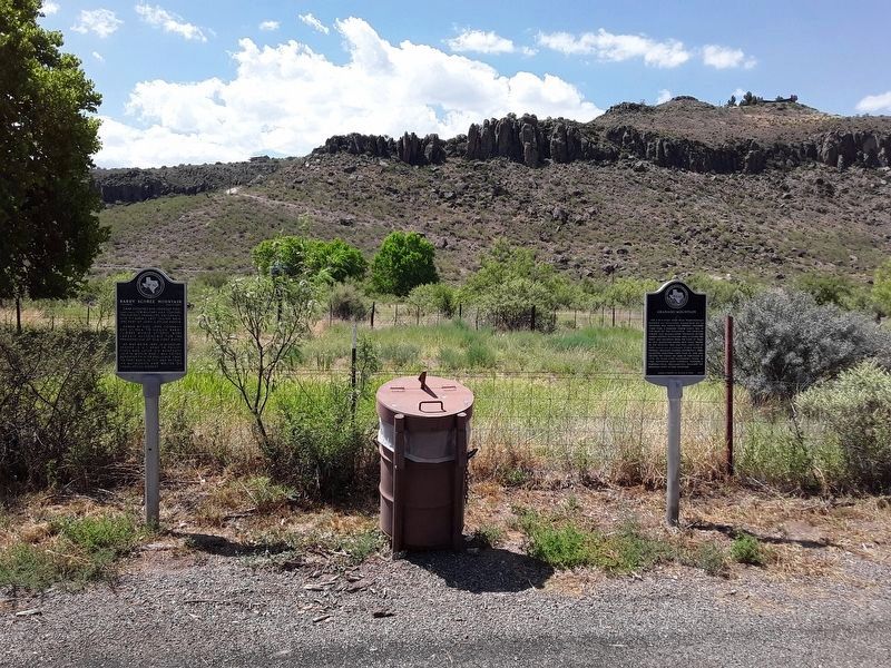
4. Barry Scobee Mountain Marker
Barry Scobee Mountain marker on the left. Granado Mountain marker on the right.
Credits. This page was last revised on July 13, 2023. It was originally submitted on September 24, 2012, by Richard Denney of Austin, Texas. This page has been viewed 1,919 times since then and 150 times this year. Photos: 1. submitted on July 11, 2023, by Kayla Harper of Dallas, Texas. 2, 3. submitted on September 24, 2012, by Richard Denney of Austin, Texas. 4. submitted on July 11, 2023, by Kayla Harper of Dallas, Texas. • Bernard Fisher was the editor who published this page.
