Point of Rocks in Frederick County, Maryland — The American Northeast (Mid-Atlantic)
Point of Rocks
Chesapeake and Ohio Canal National Historical Park
— National Park Service, U.S. Department of the Interior —
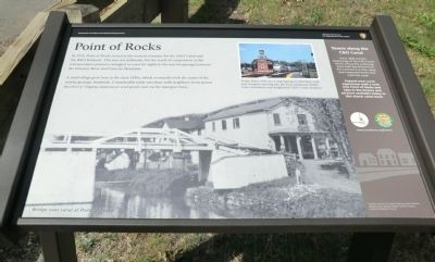
In 1832, Point of Rocks served as the western terminus for the C&O Canal and the B&O Railroad. This was not deliberate, but the result of competition as the transportation pioneers wrangled in court for rights to the narrow passage between the Potomac River and Catoctin Mountains.
A small village grew here in the early 1830’s which eventually took the name of the nearby geologic landmark. Considerable trade was done with neighbors from across the river in Virginia, desirous to send goods east via the transport lines.
Erected by National Park Service, U.S. Department of the Interior.
Topics and series. This historical marker is listed in these topic lists: Railroads & Streetcars • Settlements & Settlers • Waterways & Vessels. In addition, it is included in the Baltimore and Ohio Railroad (B&O), and the Chesapeake and Ohio (C&O) Canal series lists. A significant historical year for this entry is 1832.
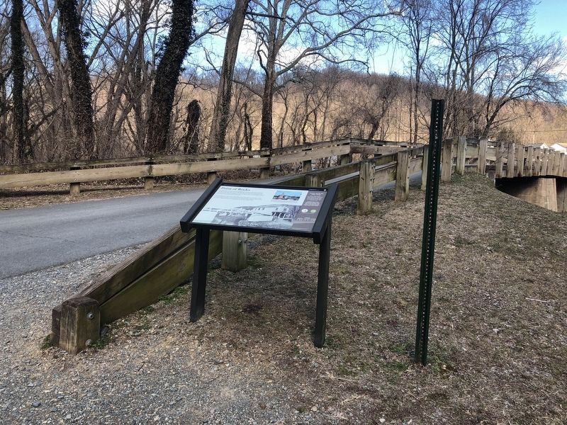
Location. 39° 16.398′ N, 77° 32.382′ W. Marker is in Point of Rocks, Maryland, in Frederick County. Marker is on Canal Street. Touch for map. Marker is in this post office area: Point of Rocks MD 21777, United States of America. Touch for directions.
Other nearby markers. At least 8 other markers are within walking distance of this marker. A different marker also named Point of Rocks (about 300 feet away, measured in a direct line); a different marker also named Point of Rocks (about 300 feet away); a different marker also named Point of Rocks (about 400 feet away); a different marker also named Point of Rocks (about 400 feet away); a different marker also named Point of Rocks (about 400 feet away); a different marker also named Point of Rocks (about 500 feet away); Battle at Point of Rocks (approx. 0.2 miles away); a different marker also named Point of Rocks (approx. 0.3 miles away). Touch for a list and map of all markers in Point of Rocks.
Credits. This page was last revised on October 12, 2021. It was originally submitted on September 24, 2012, by Don Morfe of Baltimore, Maryland. This page has been viewed 676 times since then and 12 times this year. Photos: 1. submitted on September 24, 2012, by Don Morfe of Baltimore, Maryland. 2. submitted on March 6, 2021, by Devry Becker Jones of Washington, District of Columbia. 3, 4. submitted on September 24, 2012, by Don Morfe of Baltimore, Maryland. • Bill Pfingsten was the editor who published this page.


