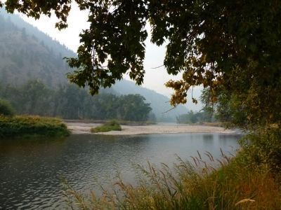
North Fork in Lemhi County, Idaho — The American West (Mountains)
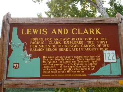
Lewis and Clark
Hoping for an Easy River Trip to the Pacific
Quotations from the Original Journals of Lewis and Clark.
Erected by Idaho Historical Society and Idaho Transportation Department. (Marker Number 122.)
Topics and series. This historical marker is listed in these topic lists: Exploration • Native Americans. In addition, it is included in the Idaho State Historical Society, and the Lewis & Clark Expedition series lists. A significant historical year for this entry is 1805.
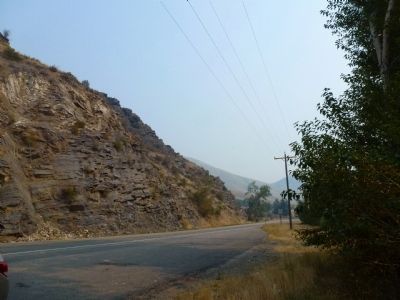
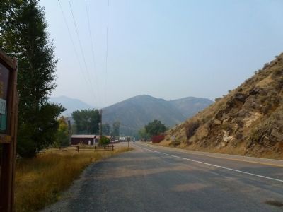
Location. 45° 24.277′ N, 113° 59.493′ W. Marker is in North Fork, Idaho, in Lemhi County. Marker is on Lewis and Clark Highway (U.S. 93 at milepost 326.1), 0.1 miles south of Salmon River Road (Route 30), on the left when traveling north. Touch for map. Marker is in this post office area: North Fork ID 83466, United States of America. Touch for directions.
Other nearby markers. At least 8 other markers are within 8 miles of this marker, measured as the crow flies. In Commemoration of Old Toby the Shoshone Indian (approx. ¼ mile away); Salmon River Encounter (approx. 0.3 miles away); Hungry, Wet and Cold (approx. 5.2 miles away); Nez Perce Trail (approx. 5½ miles away); Tower Creek (approx. 7.1 miles away); Lewis and Clark: Departure Camp (approx. 7.4 miles away); William Clark's "Pirimids" (approx. 7.4 miles away); Erle and Lula Embley's Cabin (approx. 7½ miles away). Touch for a list and map of all markers in North Fork.
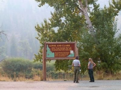
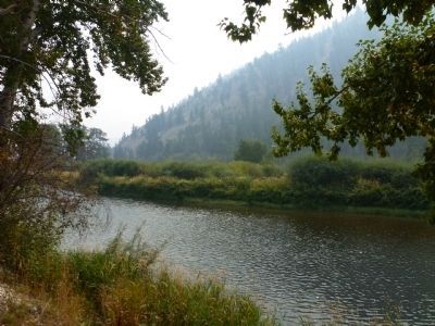
More about this marker. On the south side of the North Fork community, next to the river.
Credits. This page was last revised on October 21, 2020. It was originally submitted on September 28, 2012, by Chris English of Phoenix, Arizona. This page has been viewed 810 times since then and 28 times this year. Photos: 1, 2, 3, 4, 5, 6. submitted on September 28, 2012, by Chris English of Phoenix, Arizona. 7. submitted on September 30, 2012, by Chris English of Phoenix, Arizona. • Bill Pfingsten was the editor who published this page.
