Appomattox in Appomattox County, Virginia — The American South (Mid-Atlantic)
Clover Hill Tavern
Photographed by Bill Coughlin, April 26, 2007
1. Clover Hill Tavern
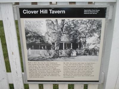
By 1865, the tavern had come on hard times – a “bare and cheerless place,” according to one Union general. It was one of only two buildings in town used by the Federal army during the surrender process. Here, on the evening of April 10, 1865, Union soldiers set up printing presses and started producing paroles for the surrendered Confederates. The Federals printed more than 30,000 parole documents here.
Erected by Appomattox Court House National Historical Park, National Park Service.
Topics. This historical marker is listed in these topic lists: Notable Places • War, US Civil. A significant historical date for this entry is April 10, 1865.
Location. 37° 22.673′ N, 78° 47.757′ W.
this page online

Regionally, this marker is in the Piedmont and in Central Virginia. It is also in the American South and specifically in the Upper South. Globally, it is in North America, the Western Hemisphere, the Western World, and the Anglosphere. Historically, it finds itself in what was once the territory of the Mississippian Culture, one of the original Thirteen Colonies, one of the Confederate States of America, and the Antebellum South.
Other nearby markers. At least 8 other markers are within walking distance of this marker: Clover Hill Tavern Slave Quarters (within shouting distance of this marker); McLean House (about 400 feet away, measured
Photographed by Craig Swain, April 18, 2010
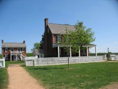
2. Clover Hill Tavern with Marker on the Fence to the Right
Other markers no longer nearby. County Jail (was within shouting distance of this marker but has been confirmed missing); a different marker also named The McLean House (was about 400 feet away but has been replaced with another marker now near it); April 1865 (was about 600 feet away but has been permanently removed).
More about this marker. The top of the marker features a photograph with the caption The tavern as it appeared in 1865. The wing to the left housed the dining room, the structure to the right the bar. Both no longer stand.
Also see . . . Appomattox Court House National Historical Park. (Submitted on March 5, 2008, by Bill Coughlin of Woodland Park, New Jersey.)

Photographed by Tom Bosse, July 4, 2026
3. Clover Hill Tavern Marker
Photographed by Bradley Owen, October 16, 2017
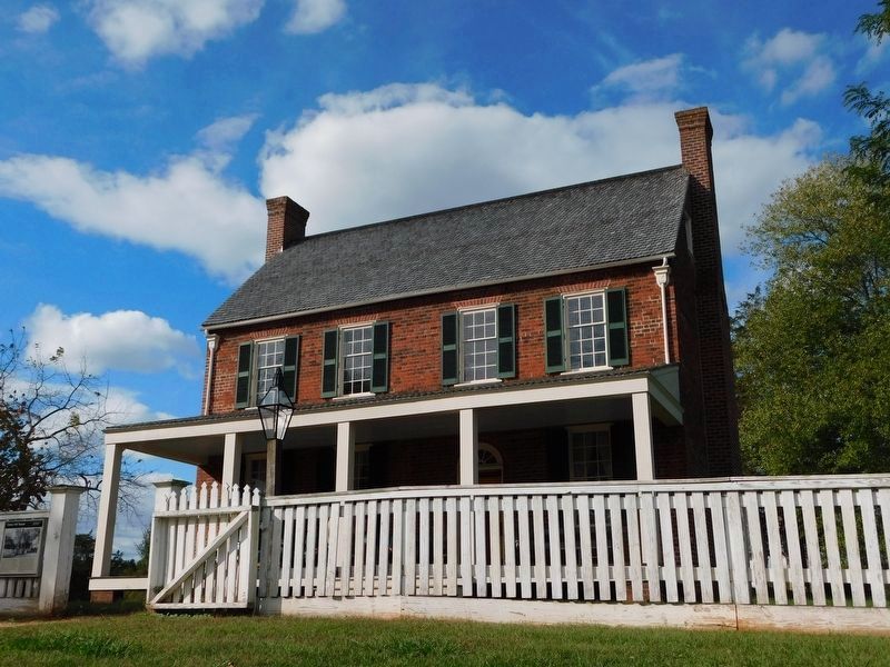
4. Clover Hill Tavern
The marker can be seen at the far left of the fence.
Photographed by Bill Coughlin, April 26, 2007
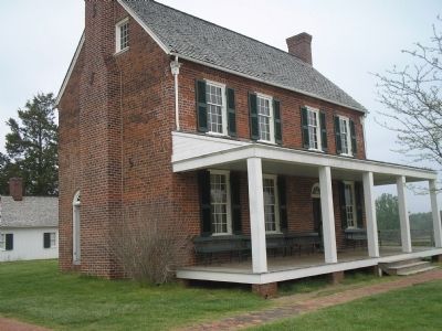
5. Clover Hill Tavern
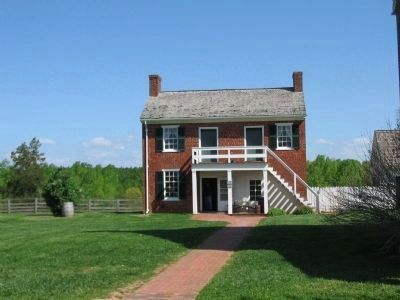
Photographed by Craig Swain, April 18, 2010
6. Tavern Kitchen
The tavern's kitchen now serves as the park bookstore. It stands to the northwest of the tavern.

Photographed by Craig Swain, April 18, 2010
7. Clover Hill Tavern Guesthouse
It is not open to the public.

Photographed by Bill Coughlin, April 26, 2007
8. Inside the Clover Hill Tavern
After the surrender, printing presses were set up inside the Clover Hill Tavern. These were used to produce paroles for the Confederates soldiers.
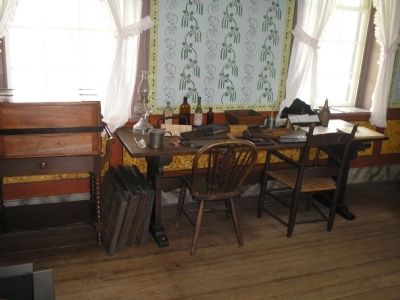
Photographed by Bill Coughlin, April 26, 2007
9. Inside the Clover Hill Tavern
More printing equipment in the Clover Hill Tavern.
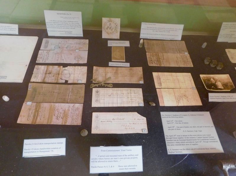
Photographed by Bradley Owen, October 16, 2017
10. Inside Clover Hill Tavern
Parole passes and other paperwork supplied to Confederate soldiers following the surrender.
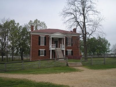
Photographed by Bill Coughlin, April 26, 2007
11. Appomattox County Court House
The Clover Hill Tavern is located in the Appomattox Court House National Historical Park, across from the court house/Visitors Center.
Credits. This page was last revised on August 4, 2026. It was originally submitted on March 5, 2008, by Bill Coughlin of Woodland Park, New Jersey. This page has been viewed 2,788 times since then and 78 times this year. Photos: 1. submitted on March 5, 2008, by Bill Coughlin of Woodland Park, New Jersey. 2. submitted on April 25, 2010, by Craig Swain of Leesburg, Virginia. 3. submitted on July 27, 2026, by Tom Bosse of Jefferson City, Tennessee. 4. submitted on March 28, 2021, by Bradley Owen of Morgantown, West Virginia. 5. submitted on March 5, 2008, by Bill Coughlin of Woodland Park, New Jersey. 6, 7. submitted on April 25, 2010, by Craig Swain of Leesburg, Virginia. 8, 9. submitted on March 5, 2008, by Bill Coughlin of Woodland Park, New Jersey. 10. submitted on March 25, 2021, by Bradley Owen of Morgantown, West Virginia. 11. submitted on March 5, 2008, by Bill Coughlin of Woodland Park, New Jersey. • Craig Swain was the editor who published this page.
