Near Sharpsburg in Washington County, Maryland — The American Northeast (Mid-Atlantic)
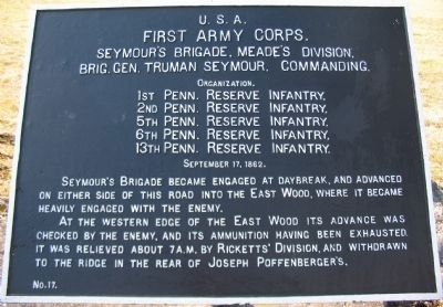
First Army Corps
Seymour's Brigade, Meade's Division
First Army Corps.
Seymour's Brigade, Meade's Division.
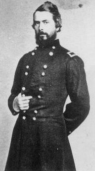
Brig. Gen. Truman Seymour, Commanding.
Organization.
1st Penn. Reserve Infantry,
2nd Penn. Reserve Infantry,
5th Penn. Reserve Infantry,
6th Penn. Reserve Infantry,
13th Penn. Reserve Infantry,
September 17, 1862.
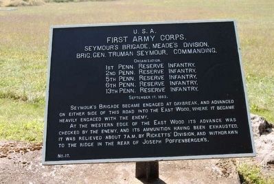
Seymour's Brigade became engaged at daybreak, and advanced on either side of this road into the East Wood, where it became heavily engaged with the enemy.
At the western edge of the East Wood its advance was checked by the enemy, and its ammunition having been exhausted, it was relieved about 7 a.m. by Ricketts' Division, and withdrawn to the ridge in the rear of Joseph Poffenberger's.
Erected by Antietam Battlefield Board. (Marker Number 17.)
Topics and series. This historical marker is listed in this topic list: War, US Civil. In addition, it is included in the Antietam Campaign War Department Markers series list. A significant historical date for this entry is September 17, 1862.
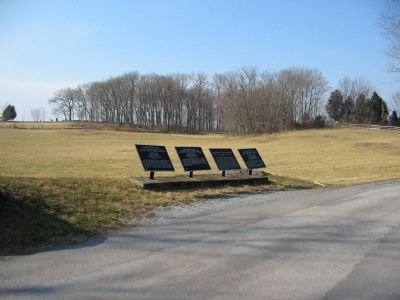
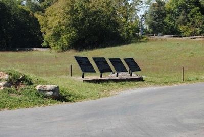
Location. 39° 29.009′ N, 77° 44.516′ W. Marker is near Sharpsburg, Maryland, in Washington County. Marker is at the intersection of Smoketown Road and Mansfield Monument Road, on the right when traveling south on Smoketown Road. Located opposite the Mansfield Monument. Touch for map. Marker is in this post office area: Sharpsburg MD 21782, United States of America. Touch for directions.
Other nearby markers. At least 10 other markers are within walking distance of this marker. Greene's Division, Twelfth Army Corps. (here, next to this marker); Twelfth Army Corps (here, next to this marker); a different marker also named Twelfth Army Corps (here, next to this marker); Mansfield (within shouting distance of this marker); a different marker also named First Army Corps (within shouting distance of this marker); Major General Joseph K. F. Mansfield (within shouting distance of this marker); a different marker also named Twelfth Army Corps (about 400 feet away, measured in a direct line); 12th Pennsylvania Cavalry (about 400 feet away); William's Division, Twelfth Army Corps (about 400 feet away); a different marker also named Twelfth Army Corps (about 400 feet away). Touch for a list and map of all markers in Sharpsburg.
Regarding First Army Corps. This marker is included on the East Woods Virtual Tour by Markers see the Virtual tour link below to see the markers in sequence.
Also see . . .
1. Antietam Battlefield. National Park Service site. (Submitted on March 5, 2008, by Craig Swain of Leesburg, Virginia.)
2. 1st Brigade, 3rd Division, I Corps. The Brigade consisted of five regiments of Pennsylvania Reserves. (Submitted on March 5, 2008, by Craig Swain of Leesburg, Virginia.)
3. Truman Seymour. Truman Seymour (September 24, 1824 – October 30, 1891) was a career soldier and an accomplished painter. He served in the Union Army during the American Civil War, rising to the rank of major general. He was present at the Battle of Fort Sumter, and commanded the Union troops at the Battle of Olustee, the largest Civil War battle fought in Florida. (Submitted on October 27, 2015, by Brian Scott of Anderson, South Carolina.)
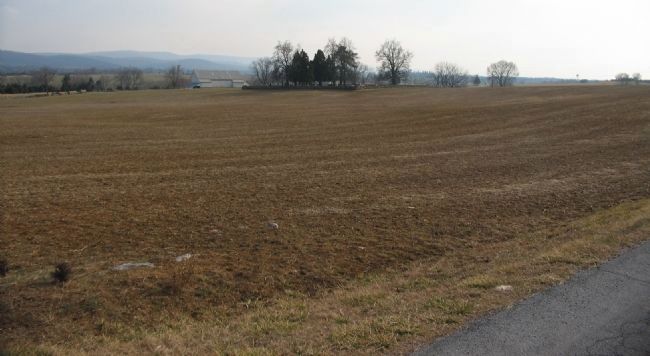
Photographed By Craig Swain, February 9, 2008
6. Mumma Farm
Taken from the Smoketown Road, to the south of the marker location, looking southwest toward the Mumma Farm (white barn in the center left distance). Directly in the distant center is the Mumma Cemetery. Seymour's Brigade advanced into an open field and passed about half the distance to the Cemetery. Ammunition exhausted, the Brigade fell back into the East Woods, eventually passing a point near the marker location.
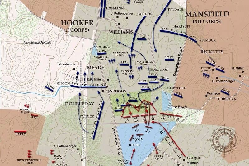
via American Battlefield Trust, unknown
7. East Woods Virtual Tour by Markers.
A collection of markers interpreting the action of during the Battle of Antietam around the East Woods.
(Submitted on March 8, 2008, by Craig Swain of Leesburg, Virginia.)
Click for more information.
(Submitted on March 8, 2008, by Craig Swain of Leesburg, Virginia.)
Click for more information.
Credits. This page was last revised on April 4, 2022. It was originally submitted on March 5, 2008, by Craig Swain of Leesburg, Virginia. This page has been viewed 853 times since then and 15 times this year. Photos: 1. submitted on March 5, 2008, by Craig Swain of Leesburg, Virginia. 2. submitted on October 27, 2015, by Brian Scott of Anderson, South Carolina. 3. submitted on March 4, 2008, by Craig Swain of Leesburg, Virginia. 4, 5. submitted on October 27, 2015, by Brian Scott of Anderson, South Carolina. 6. submitted on March 5, 2008, by Craig Swain of Leesburg, Virginia. 7. submitted on April 4, 2022, by Larry Gertner of New York, New York.
