Near Athens in Limestone County, Alabama — The American South (East South Central)
Cambridge
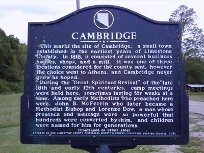
North Side
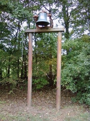
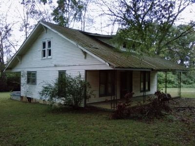
This marks the site of Cambridge, a small town established in the earliest years of Limestone County. In 1818, it consisted of several business houses, shops, and a mill. It was one of three locations considered for the county seat, however the choice went to Athens, and Cambridge never grew as hoped.
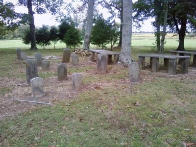
During the "Great Spiritual Revival" of the late 18th and early 19th centuries, camp meetings were held here, sometimes lasting for weeks at a time. Among early Methodists who preached here were, John B. McFerrin who later became a Methodist Bishop and Lorenzo Dow, a man whose presence and message were so powerful that hundreds were converted by him, and children were named for him for generations. (Continued on other side)
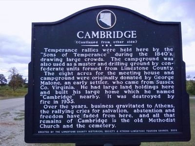
South Side
(Continued from other side)
Temperance rallies were held here by the "Sons of Temperance" during the 1840's, drawing large crowds. The campground was also used as a muster and drilling ground by confederate units formed from Limestone County.
The eight acres for the meeting house and campground were originally donated by George Malone, an early settler, who came from Sussex Co. Virginia. He had large land holdings here and built his large home which he named "Cambridge" nearby. It was destroyed by fire in 1955.
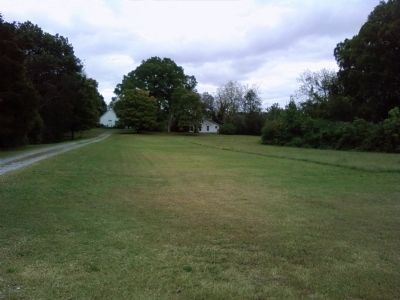
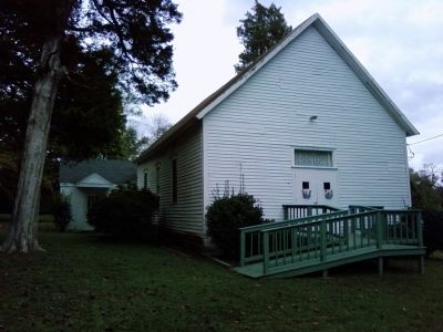
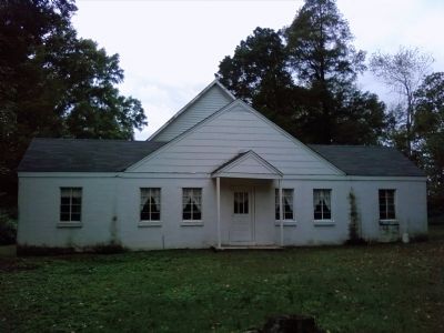
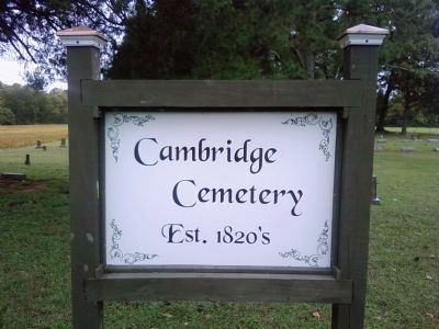
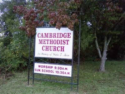
Over the years, business gravitated to Athens, the rallying cries for salvation, abstention and freedom have faded from here, and all that remains of Cambridge is the old Methodist Church and the cemetery.
Erected 2002 by The Limestone County Historical Society & Athens-Limestone Tourism Council.
Topics. This historical marker is listed in these topic lists: Cemeteries & Burial Sites • Churches & Religion • Settlements & Settlers. A significant historical year for this entry is 1818.
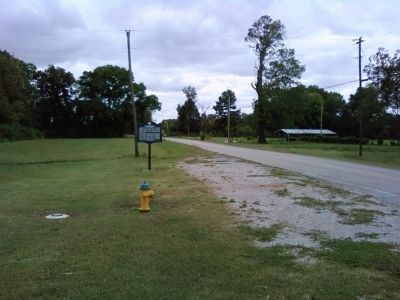
Location. 34° 45.549′ N, 86° 53.7′ W. Marker is near Athens, Alabama, in Limestone County. Marker is on Cambridge Lane (County Road 93) 0.6 miles south of U.S. 72, on the left when traveling south. Touch for map. Marker is in this post office area: Athens AL 35613, United States of America. Touch for directions.
Other nearby markers. At least 8 other markers are within 6 miles of this marker, measured as the crow flies. Limestone County Tornado Memorial (approx. 1.3 miles away); Cotton Hill (approx. 2 miles away); Gamble House (approx. 2˝ miles away); Pleasant Hill (approx. 4.9 miles away); Confederate Circle (approx. 4.9 miles away); Old Town Cemetery (approx. 5 miles away); Athens Big Spring Memorial Park (approx. 5.1 miles away); Athens, Alabama (approx. 5.1 miles away). Touch for a list and map of all markers in Athens.
Photographed By Lee Hattabaugh, October 8, 2012
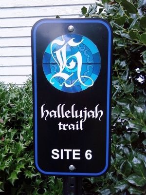
11. Hallelujah Trail - Site 6
Cambridge Methodist Church is Site 6 on the North Alabama Hallelujah Trail. The Hallelujah trail winds through North Alabama linking 32 historic churches and synagogues that are at least 100 years old, located on the original site, and still open for services today.
Credits. This page was last revised on June 16, 2016. It was originally submitted on October 8, 2012, by Lee Hattabaugh of Capshaw, Alabama. This page has been viewed 1,159 times since then and 74 times this year. Photos: 1, 2, 3, 4, 5, 6, 7, 8, 9, 10, 11, 12, 13. submitted on October 8, 2012, by Lee Hattabaugh of Capshaw, Alabama. • Craig Swain was the editor who published this page.
