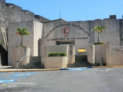
San Cristóbal in San Juan in Municipio de San Juan, Puerto Rico — The Caribbean (The West Indies)
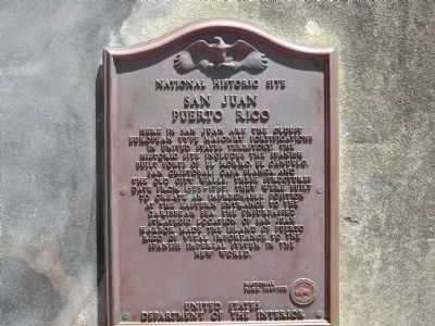
National Historic Site
San Juan
— Puerto Rico —
Erected by National Park Service, U.S. Department of the Interior.
Topics. This historical marker is listed in these topic lists: Architecture • Colonial Era • Forts and Castles. A significant historical year for this entry is 1525.
Location. 18° 28.044′ N, 66° 6.672′ W. Marker is in San Juan in Municipio de San Juan, Puerto Rico. It is in San Cristóbal. Marker is on Bulevar del Valle. Touch for map. Marker is in this post office area: San Juan PR 00901, United States of America. Touch for directions.
Other nearby markers. At least 8 other markers are within walking distance of this marker. In Defense of San Juan / En defenso de San Juan (here, next to this marker); What About Water? / ¿De Dónde Viene el Agua? (here, next to this marker); Firepower (here, next to this marker); Three Flags (here, next to this marker); The Heart of San Cristobal (here, next to this marker); Historic San Juan / San Juan Historico (about 300 feet away, measured in a direct line); Escuela José Julián Acosta (about 500 feet away); Casino de Puerto Rico (about 500 feet away). Touch for a list and map of all markers in San Juan.
Credits. This page was last revised on February 16, 2023. It was originally submitted on October 9, 2012, by Don Morfe of Baltimore, Maryland. This page has been viewed 470 times since then and 2 times this year. Photos: 1, 2. submitted on October 9, 2012, by Don Morfe of Baltimore, Maryland. • Bill Pfingsten was the editor who published this page.
Editor’s want-list for this marker. A photo of the marker and the surrounding area in context. • Can you help?

