L’aqueduc de Saïsses
[The Saïsses aqueduct]
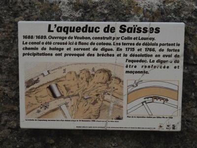
[Translation by Google Translate (with modifications):
The Saïsses Aqueduct
1688/1689. Designed by Vauban, built by Colin and Launay.
Here the canal was dug on a hillside. The excavation material was thrown up on the towpath and acted as a dyke. In 1715 and 1766, heavy rains caused cracks and desolation downstream from the aqueduct. The dam had to be reinforced and lined.]
Topics. This historical marker is listed in this topic list: Waterways & Vessels. A significant historical date for this entry is November 15, 1766.
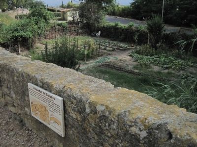
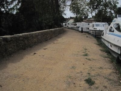
Location. 43° 19.876′ N, 3° 2.679′ E. Marker is in Capestang, Occitanie (Occitania), in Hérault. It can be reached from Rue Edouard Herriot. Rue Edouard Herriot is the name of the towpath on the Canal due Midi in Capestang.
this page online

Regionally, it is in the North Atlantic Region, Europe, the European Union, Atlantic Europe, the Schengen Area, Western Europe, a coastal Mediterranean country, and the Western World. Historically, it finds itself in what was once a French colony and also the Roman Empire.
Other nearby markers. At least 8 other markers are within walking distance of this marker: La fontaine du Théron (approx. 0.2 kilometers away); La maison vigneronne (approx. 0.3 kilometers away); Le Château de l’archevêque (approx. 0.3 kilometers away); La maison romane (approx. 0.3 kilometers away); La collégiale Saint Etienne (approx. 0.4 kilometers away); Rafle Du 9 Juin 1944 (approx. 0.4 kilometers away); La maison Lignon (approx. 0.4 kilometers away); L’Hôpital (approx. 0.4 kilometers away). Touch for a list and map of all markers in Capestang.
Credits. This page was last revised on September 10, 2018. It was originally submitted on October 9, 2012, by Barry Swackhamer of Brentwood, California. This page has been viewed 487 times since then and 9 times this year. Photos: 1, 2, 3. submitted on October 9, 2012, by Barry Swackhamer of Brentwood, California. • Bill Pfingsten was the editor who published this page.
