Newkirk in Kay County, Oklahoma — The American South (West South Central)
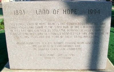
Land of Hope
1893 • 1994
Photographed by William Fischer, Jr., October 24, 2011
1. Land of Hope Monument
Dedication - Sept. 17, 1994
Erected 1994 by The Glenn W. Reel Foundation, the Newkirk Centennial Committee, and Concerned Citizens.
Topics. This historical marker is listed in these topic lists: Man-Made Features • Settlements & Settlers. A significant historical month for this entry is September 1807.
Location. 36° 52.878′ N, 97° 3.233′ W. Marker is in Newkirk, Oklahoma, in Kay County. It is at the intersection of Main Street (U.S. 77) and 8th Street, on the left when traveling north on Main Street. Monument is on the east grounds of the county courthouse. Touch for map. Marker is at or near this postal address: 201 South Main Street, Newkirk OK 74647, United States of America. Touch for directions.

Regionally, this marker is in the American South, specifically on the prairies, and on the Southern Plains.
this page online
Other nearby markers. At least 8 other markers are within walking distance of this marker: Revolutionary War Patriots (within shouting distance of this marker); African-Americans (within shouting distance of this marker); Kay County War Memorial (within shouting distance of this marker); Kay County Abstract Building (about 300 feet away, measured in a direct line); City Hall & Opera House (about 300 feet away); Newkirk (about 400 feet away); Red Rose Garden Club (about 400 feet away); Oklahoma State Centennial 1907 - 2007 (about 400 feet away). Touch for a list and map of all markers in Newkirk.
Also see . . .
1. 1893 Cherokee Outlet Opening. Oklahoma Historical Society website entry (Submitted on October 21, 2012, by William Fischer, Jr. of Reynoldsburg, Ohio.)
2. The Cherokee Outlet, or Cherokee Strip. Wikipedia entry (Submitted on November 7, 2023, by Larry Gertner of New York, New York.)
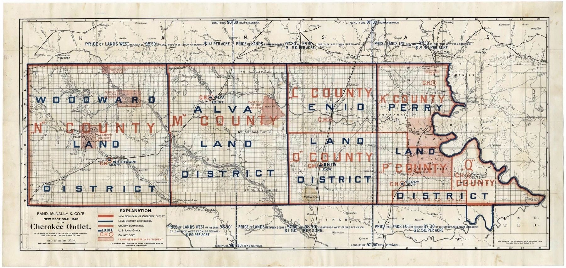
via Boston Rare Maps, unknown
2. Cherokee Outlet
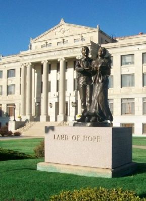
Photographed by William Fischer, Jr., October 24, 2011
3. Land of Hope Monument
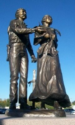
Photographed by William Fischer, Jr., October 24, 2011
4. Land of Hope Statue
Credits. This page was last revised on November 7, 2023. It was originally submitted on October 21, 2012, by William Fischer, Jr. of Reynoldsburg, Ohio. This page has been viewed 775 times since then and 36 times this year. Photos: 1. submitted on October 21, 2012, by William Fischer, Jr. of Reynoldsburg, Ohio. 2. submitted on November 7, 2023, by Larry Gertner of New York, New York. 3, 4. submitted on October 21, 2012, by William Fischer, Jr. of Reynoldsburg, Ohio.
