Near Sharpsburg in Washington County, Maryland — The American Northeast (Mid-Atlantic)
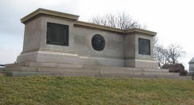
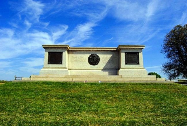
Massachusetts State Monument
Inscription.
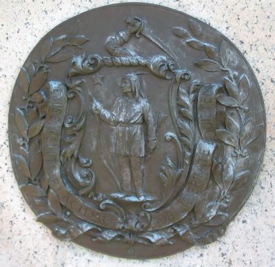
(Center Panel):
to mark the position held by her troops
at the Battle of Antietam
September XVII MDCCLXII
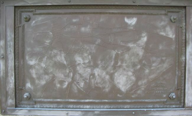
(Left Plaque):
Second Infantry
Seventh Infantry
Ninth Infantry
Tenth Infantry
Twelfth Infantry
Thirteenth Infantry
Fifteenth Infantry
Eighteenth Infantry
Nineteenth Infantry
Twentieth Infantry
Twenty-First Infantry
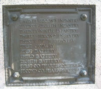
(Right Plaque):
Twenty-Second Infantry
Twenty-Eighth Infantry
Twenty-Ninth Infantry
Thirty-Second Infantry
Thirty-Fifth Infantry
First Cavalry
First Battery
Third Battery
Eighth Battery
First Co. Sharpshooters
Second Co. Sharpshooters.
Erected 1920 by Commonwealth of Massachusetts.
Topics. This historical marker and monument is listed in this topic list: War, US Civil. A significant historical date for this entry is September 17, 1862.
Location. 39° 28.835′ N, 77° 44.889′ W. Marker is near Sharpsburg, Maryland, in Washington County. Marker is at the intersection of Dunker Church Road / Old Hagerstown Pike and Cornfield Avenue, on the right when traveling north on Dunker Church Road / Old Hagerstown Pike. Touch for map. Marker is in this post office area: Sharpsburg MD 21782, United States of America. Touch for directions.
Other nearby markers. At least 10 other markers are within walking distance of this marker. Sedgwick's Division, Second Army Corps (within shouting distance of this marker); New Jersey State Monument (within shouting distance of this marker); Twelfth Army Corps (within shouting distance
of this marker); Aftermath Along the Hagerstown Turnpike (within shouting distance of this marker); Second Regiment (within shouting distance of this marker); 124th Pennsylvania Volunteer Infantry (within shouting distance of this marker); First Army Corps (within shouting distance of this marker); Indiana State Monument (within shouting distance of this marker); The Most Terrible Clash of Arms (within shouting distance of this marker); A Cornfield Unlike Any Other (within shouting distance of this marker). Touch for a list and map of all markers in Sharpsburg.
Related markers. Click here for a list of markers that are related to this marker. Massachusetts Units at Antietam
Also see . . . Massachusetts State Monument. National Park Service page detailing the monument. (Submitted on March 8, 2008, by Craig Swain of Leesburg, Virginia.)
Credits. This page was last revised on June 16, 2016. It was originally submitted on March 8, 2008, by Craig Swain of Leesburg, Virginia. This page has been viewed 1,012 times since then and 14 times this year. Photos: 1, 2, 3, 4, 5. submitted on March 8, 2008, by Craig Swain of Leesburg, Virginia. 6. submitted on October 17, 2015, by Brian Scott of Anderson, South Carolina. 7. submitted on March 8, 2008, by Craig Swain of Leesburg, Virginia.
