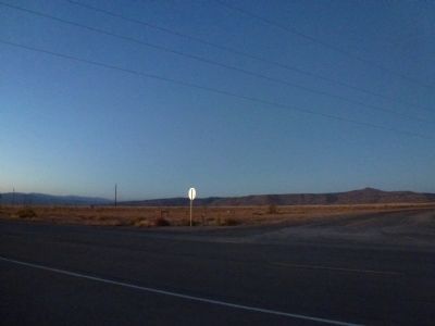
Near Cochiti Pueblo in Sandoval County, New Mexico — The American Mountains (Southwest)
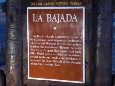
La Bajada
This black volcanic escarpment is one of New Mexico's most important landmarks. The descent (bajada) of this escarpment marked the traditional division between New Mexico's upper (Rio Arriba) and lower (Rio Abajo) districts. Over the centuries, several trails and roads were developed to overcome this most difficult of obstacles along the Camino Real.
Erected by New Mexico Tourism Department, New Mexico Historic Preservation Division.
Topics. This historical marker is listed in this topic list: Roads & Vehicles.
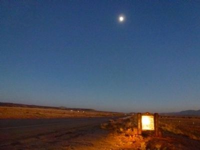
Location. 35° 32.478′ N, 106° 16.689′ W. Marker is near Cochiti Pueblo, New Mexico, in Sandoval County. Marker is at the intersection of State Road 16 at milepost 20 and Indian Service (Road 841), on the right when traveling east on State Road 16. The marker is approximately 6.5 miles west of Interstate 25. Touch for map. Marker is in this post office area: Cochiti Lake NM 87083, United States of America. Touch for directions.
Other nearby markers. At least 8 other markers are within 7 miles of this marker, measured as the crow flies. Pueblo of Santo Domingo Kiua (approx. 4.2 miles away); Kewa Women's Co-op (approx. 4.9 miles away); Women of Cochiti (approx. 6.7 miles away); Gold and Turquoise (approx. 6.9 miles away); Amelia Elizabeth White / Mary Cabot Wheelwright (approx. 6.9 miles away); Bicentennial Celebration / La Bajada (approx. 6.9 miles away); Maria Gertrudis Barceló (approx. 6.9 miles away); Laura Gilpin (1891-1979) (approx. 6.9 miles away).
Credits. This page was last revised on October 24, 2023. It was originally submitted on October 27, 2012, by Chris English of Phoenix, Arizona. This page has been viewed 820 times since then and 46 times this year. Photos: 1, 2, 3, 4, 5. submitted on October 27, 2012, by Chris English of Phoenix, Arizona. • Syd Whittle was the editor who published this page.
