Cruz Bay in St. John, Virgin Islands — The Caribbean (The West Indies)
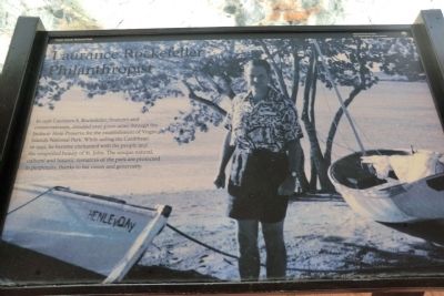
Laurance Rockefeller
Philanthropist
Topics. This historical marker is listed in these topic lists: Charity & Public Work • Environment • Industry & Commerce • Parks & Recreational Areas. A significant historical year for this entry is 1956.
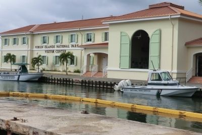
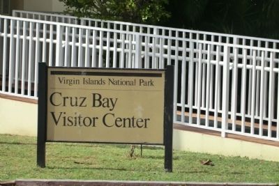
Location. 18° 19.986′ N, 64° 47.586′ W. Marker is in Cruz Bay in St. John, Virgin Islands. Marker is on North Shore Road. The marker is on the grounds of the Virgin Islands National Park Visitor Center. Touch for map. Marker is in this post office area: St John VI 00831, United States of America. Touch for directions.
Other nearby markers. At least 8 other markers are within 9 miles of this marker, measured as the crow flies. Establishment of Virgin Islands National Park (here, next to this marker); Philanthropy in the National Park Service (here, next to this marker); Horse Mill (approx. 4.6 miles away); Annaberg Historic Trail (approx. 4.6 miles away); Slave Quarters (approx. 4.6 miles away); Windmill (approx. 4.7 miles away); Boiling Room (approx. 4.7 miles away); Arthur S. Fairchild (approx. 8.7 miles away). Touch for a list and map of all markers in Cruz Bay.
Credits. This page was last revised on December 24, 2019. It was originally submitted on October 30, 2012, by Don Morfe of Baltimore, Maryland. This page has been viewed 527 times since then and 11 times this year. Photos: 1, 2, 3, 4. submitted on October 30, 2012, by Don Morfe of Baltimore, Maryland. • Bill Pfingsten was the editor who published this page.


