White Hall in Lowndes County, Alabama — The American South (East South Central)
Holy Ground Battlefield
Inscription.
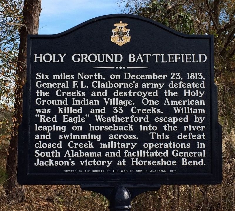
Six miles North, on December 23, 1813,
General F.L. Claiborne's army defeated
the Creeks and destroyed the Holy
Ground Indian Village. One American
was killed and 33 Creeks. William
"Red Eagle" Weatherford escaped by
leaping on horseback into the river
and swimming across. This defeat
closed the Creek military operations in
South Alabama and facilitated General
Jackson's victory at Horseshoe Bend.
Erected 1975 by The Society of the War of 1812 in Alabama.
Topics. This historical marker is listed in this topic list: Wars, US Indian. A significant historical month for this entry is December 1956.
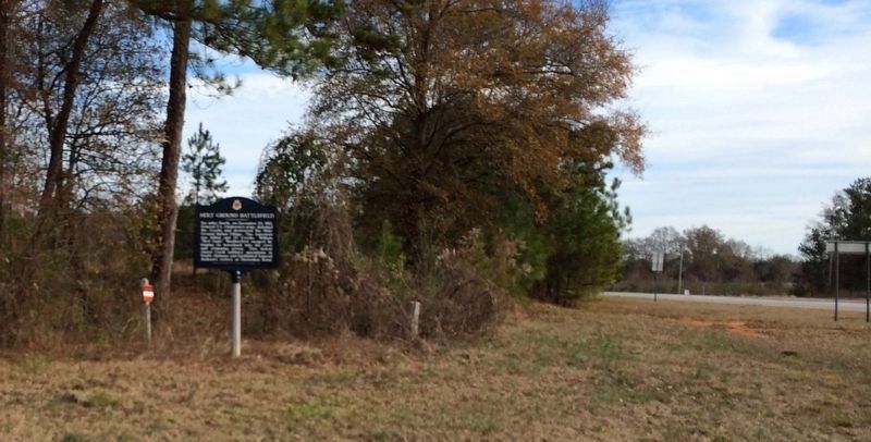
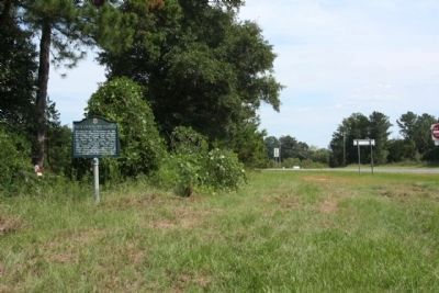
Location. 32° 16.179′ N, 86° 43.488′ W. Marker is in White Hall, Alabama, in Lowndes County. Marker is at the intersection of Freedom Road (County Road 23) and U.S. 80, on the right when traveling north on Freedom Road. Touch for map. Marker is at or near this postal address: Freedom Road, Hayneville AL 36040, United States of America. Touch for directions.
Other nearby markers. At least 8 other markers are within 2 miles of this marker, measured as the crow flies. No Isolated Incident (about 500 feet away, measured in a direct line); A Price Paid (about 500 feet away); Marchers, Supporters, Hecklers (about 700 feet away); Day Two (about 700 feet away); You Gotta Move (approx. 0.2 miles away); After the March—Tent City (approx. 0.2 miles away); It Started in Selma (approx. 0.2 miles away); Campsite 2 (approx. 1.1 miles away). Touch for a list and map of all markers in White Hall.
Regarding Holy Ground Battlefield. the Creek War of 1813-1814. The famed Red Stick village of Holy Ground stood on a bluff overlooking the Alabama River just ten miles northwest of Lowndesboro. It was here that the Prophet Josiah Francis spearheaded a nativistic religious movement that swept through the Creek Nation in the years 1811-1814.The followers of Francis formed a powerful division in the Creek Nation called the Red Sticks, because they displayed red war clubs in their towns. They launched a civil war against the Big Warrior and other traditional leaders of the Nation. The war exploded into an all out conflict with the whites when a party of Mississippi Territorial Militia attacked a Red Stick supply party at Burnt Corn Spring in 1813. The Red Sticks retaliated by destroying Fort Mims and killing hundreds of men, women and children.
The outbreak led to attacks on the Creek Nation by three different U.S. armies. On December 23, 1813, the army of Gen. F.L. Claiborne fought and won the Battle of Holy Ground, destroying
the center of the Prophet's movement and beginning the ultimate near destruction of the Red Sticks.(ExploreSouthernHistory.com; Lowndesboro, Alabama)
Also see . . .
1. American Archaeology - The Story Of Holy Ground: Investigating A Legendary Battle Site. Summer 2016 Issue of American Archaeology, Vol. 20 No. 1. (Submitted on January 17, 2017, by Mark Hilton of Montgomery, Alabama.)
2. The Battle of Horseshoe Bend, Wikipedia entry. was fought during the War of 1812 in central Alabama. On March 27, 1814, United States forces and Indian allies under Major General Andrew Jackson defeated the Red Sticks, a part of the Creek Indian tribe who opposed American expansion, effectively ending the Creek War. (Submitted on November 3, 2012, by Mike Stroud of Bluffton, South Carolina.)
3. The Battle of Holy Ground - White Hall, Alabama. (Submitted on November 3, 2012, by Mike Stroud of Bluffton, South Carolina.)
Credits. This page was last revised on May 27, 2023. It was originally submitted on October 30, 2012, by Mike Stroud of Bluffton, South Carolina. This page has been viewed 1,535 times since then and 67 times this year. Photos: 1. submitted on August 3, 2016, by Mark Hilton of Montgomery, Alabama. 2. submitted on August 4, 2016, by Mark Hilton of Montgomery, Alabama. 3, 4. submitted on November 2, 2012, by Mike Stroud of Bluffton, South Carolina.


