St. John, Virgin Islands — The Caribbean (The West Indies)
Slave Quarters
Photographed by Don Morfe, January 29, 2012
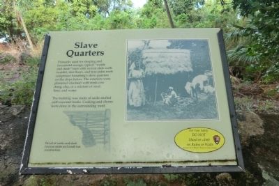
1. Slave Quarters Marker
Primarily used for sleeping and household storage, typical “wattle and daub”’ huts with woven stick walls (wattle), dirt floors, and tyre palm roofs comprised Annaberg’s slave quarters on the slope below. The exteriors were plastered (daubed) with fresh cow dung, clay, or a mixture of sand, lime, and water.
The bedding was made of sacks stuffed with coconut husks. Cooking and chores were done in the surrounding yard.
Erected by National Park Service, U.S. Department of the Interior.
Topics. This historical marker is listed in these topic lists: Colonial Era • Notable Buildings.
Location. Marker has been reported permanently removed. It was located near 18° 21.786′ N, 64° 43.812′ W. Marker was in St. John, Virgin Islands. It was on Virgin Islands Route 20. The Annaberg Sugar Mill is a unit of the Virgin Islands National Park. Touch for map. Marker was in this post office area: St John VI 00830, United States of America.
We have been informed that this marker is no longer there and will not be replaced. This page is an archival view of what was.
Regionally,
this page online

Other nearby markers. At least 8 other markers are within walking distance of this location: Confronting a Turbulent Past (within shouting distance of this marker); Life After Emancipation (within shouting distance of this marker); History of Annaberg (within shouting distance of this marker); Producing Sugar (within shouting distance of this marker); The Sugar Factory (within shouting distance of this marker); Bake Oven (within shouting distance of this marker); Crushing Cane with Wind (within shouting distance of this marker); Windmill (within shouting distance of this marker). Touch for a list and map of all markers in St. John.
Other markers no longer nearby. Annaberg Historic Trail (was a few steps from this marker but has been permanently removed); Horse Mill (was within shouting distance of this marker but has been permanently removed).
Additional keywords. This marker is on the grounds of the Annaberg Sugar Mill
Photographed by Don Morfe, January 29, 2012
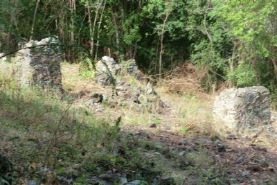
2. Slave Quarters Marker
Photographed by Don Morfe, January 28, 2012
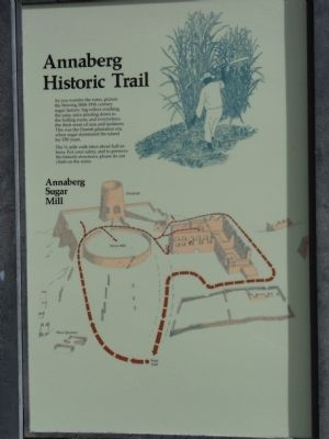
3. Slave Quarters Marker
Photographed by Don Morfe, January 29, 2012
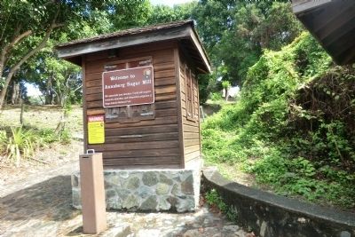
4. Slave Quarters Marker
Credits. This page was last revised on January 17, 2026. It was originally submitted on November 2, 2012, by Don Morfe of Baltimore, Maryland. This page has been viewed 765 times since then and 25 times this year. Photos: 1, 2, 3, 4. submitted on November 2, 2012, by Don Morfe of Baltimore, Maryland. • Bill Pfingsten was the editor who published this page.
