St. John, Virgin Islands — The Caribbean (The West Indies)
Windmill
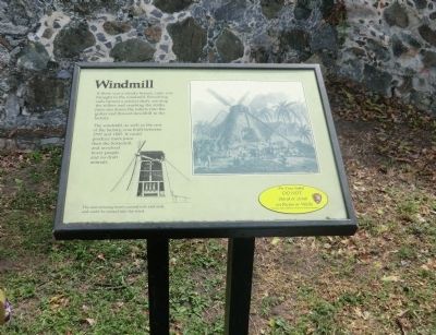
Photographed by Don Morfe, January 29, 2012
1. Windmill Marker
Erected by National Park Service, U.S. Department of the Interior.
Topics and series. This historical marker is listed in these topic lists: Colonial Era • Industry & Commerce. In addition, it is included in the Windmills series list. A significant historical year for this entry is 1797.
Location. This marker has been replaced by another marker nearby. 18° 21.78′ N, 64° 43.77′ W. Marker is in St. John, Virgin Islands. It is on Virgin Islands Route 20. The Annaberg Sugar Mill is a unit of the Virgin Islands National Park. Touch for map. Marker is in this post office area: St John VI 00830, United States of America. Touch for directions.

Regionally,
this page online
Other nearby markers. At least 8 other markers are within walking distance of this location: Crushing Cane with Wind (here, next to this marker); Freedom Across the Narrows (a few steps from this marker); Bake Oven (a few steps from this marker); History of Annaberg (a few steps from this marker); Producing Sugar (a few steps from this marker); Life After Emancipation (within shouting distance of this marker); The Sugar Factory (within shouting distance of this marker); Confronting a Turbulent Past (within shouting distance of this marker).
Additional keywords. This marker is on the grounds of the Annaberg Sugar Mill
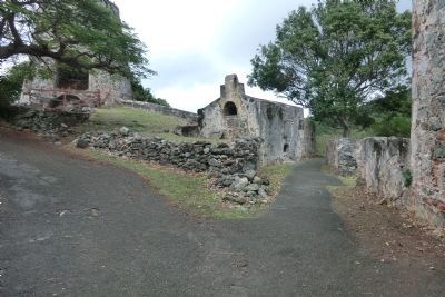
Photographed by Don Morfe, January 29, 2012
2. Windmill Marker
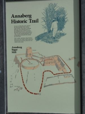
Photographed by Don Morfe, January 28, 2012
3. Windmill Marker
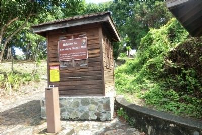
Photographed by Don Morfe, January 29, 2012
4. Windmill Marker
Credits. This page was last revised on January 17, 2026. It was originally submitted on November 2, 2012, by Don Morfe of Baltimore, Maryland. This page has been viewed 710 times since then and 25 times this year. Photos: 1, 2, 3, 4. submitted on November 2, 2012, by Don Morfe of Baltimore, Maryland. • Bill Pfingsten was the editor who published this page.
