Near Rison in Charles County, Maryland — The American Northeast (Mid-Atlantic)
Rum Point
1½ miles →
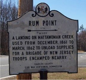
Photographed by M. A. Pimentel, March 9, 2008
1. Rum Point Marker
Erected 1962 by Charles County Civil War Centennial Commission.
Topics. This historical marker is listed in this topic list: War, US Civil. A significant historical month for this entry is March 1862.
Location. 38° 32.206′ N, 77° 11.826′ W. Marker is near Rison, Maryland, in Charles County. It is at the intersection of Chicamuxen Road (Maryland Route 224) and Stump Neck Road, on the right when traveling south on Chicamuxen Road. Touch for map. Marker is in this post office area: Marbury MD 20658, United States of America. Touch for directions.

Regionally, this marker is in the Washington Metropolitan Area and in Southern Maryland. It is also in the American South, specifically in the Upper South, in the Mid-Atlantic, in the Tidewater, and on the Eastern Seaboard. Globally, it is in the North Atlantic Region, North America, the Western Hemisphere, the Western World, and the Anglosphere. Historically, it finds itself in what was once one of the original Thirteen Colonies
this page online
Other nearby markers. At least 8 other markers are within 2 miles of this marker, measured as the crow flies: General Smallwood's Gravesite (approx. one mile away); General Joseph Hooker U.S.A. (approx. 1.3 miles away); Explore your Chesapeake (approx. 1½ miles away); Rich Resources (approx. 1.7 miles away); John Smith Explores the Chesapeake (approx. 1.7 miles away); Join the Adventure (approx. 1.7 miles away); Christian Temple Manor (approx. 1.7 miles away); Smallwood's Home (approx. 1.7 miles away). Touch for a list and map of all markers in Rison.
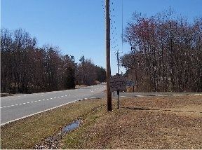
Photographed by M. A. Pimentel, March 9, 2008
2. Marker from a distance
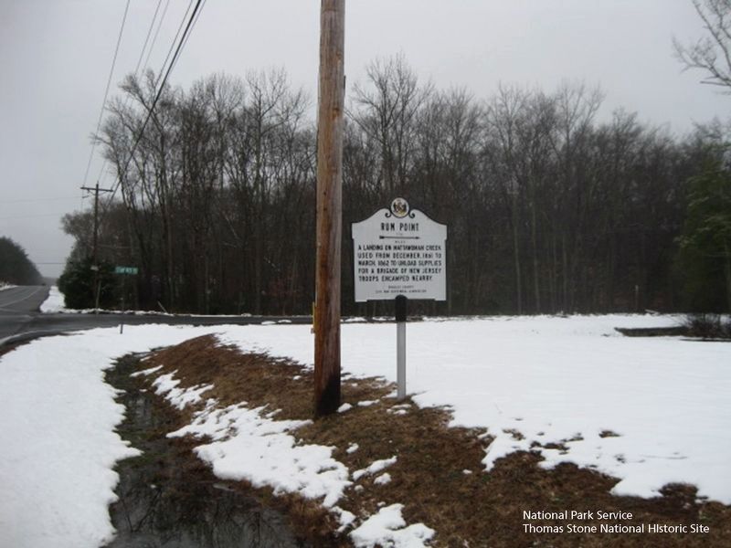
National Park Service, Thomas Stone National Historic Site, January 18, 2019
3. Rum Point Marker
(Stump Neck Road sign in background.)
Credits. This page was last revised on December 27, 2024. It was originally submitted on March 9, 2008, by M. A. Pimentel of Waldorf, Maryland. This page has been viewed 2,214 times since then and 64 times this year. Photos: 1, 2. submitted on March 9, 2008, by M. A. Pimentel of Waldorf, Maryland. 3. submitted on August 5, 2019. • Craig Swain was the editor who published this page.
