Pollock Pines in El Dorado County, California — The American West (Pacific Coastal)
Sportsman’s Hall

Photographed by Cory Waters
1. Sportsman’s Hall Marker
California Registered Historical Landmark No. 704
Plaque placed by the California State Park Commission in cooperation with the James W. Marshall Chapter No. 49, E. Clampus Vitus and the Central Overland Pony Express Trail Association, April 3, 1980.
Erected 1980 by California State Park Commission in cooperation with the James W. Marshall Chapter No. 49, E. Clampus Vitus and the Central Overland Pony Express Trail Association. (Marker Number 704.)
Topics and series. This historical marker is listed in these topic lists: Communications • Roads & Vehicles. In addition, it is included in the California Historical Landmarks, the E Clampus Vitus, and the Pony Express National Historic Trail series lists. A significant historical month for this entry is April 1861.
Location. 38° 45.006′ N, 120° 36.675′ W. Marker is in Pollock Pines, California, in El Dorado County. It is on Pony Express Trail east of Exit 57 (U.S. 50), on the right when traveling east. Touch for map. Marker is at or near this postal address: 5620 Pony Express Trail, Pollock Pines CA 95726, United States of America. Touch for directions.

Regionally, this marker is in Sacramento Metro and in the Sierra Nevada. It is also in the American Mountain West. Globally, it is in North America, on the Ring of Fire, on the Pacific Rim, in the Western Hemisphere, in the Western World, and in the
this page online
Other nearby markers. At least 5 other markers are within 2 miles of this marker, measured as the crow flies: The Pony Express - Sportsman’s Hall (here, next to this marker); Johnson Cutoff Trail - Sportsman Hall (within shouting distance of this marker); Johnson Cutoff - Took the Hangtown Road (approx. 2 miles away); The Miwok and Maidu Peoples (approx. 2 miles away); Logging in El Dorado County (approx. 2 miles away). Touch for a list and map of all markers in Pollock Pines.
Related markers. Click here for a list of markers that are related to this marker. Follow the first Eastbound journey of the Pony Express through California to Genoa, Nevada....To better understand the relationship, study each marker in the order shown.
Also see . . . Pony Express National Historic Trail. (Submitted on October 14, 2006, by Karen Key of Sacramento, California.)
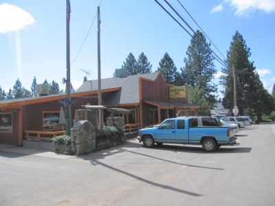
Photographed by Karen Key, October 6, 2006
2. Sportsman's Hall and Marker
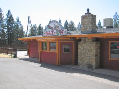
Photographed by Karen Key, October 6, 2006
3. Sportsman's Hall
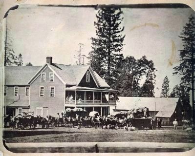
circa 1876
4. Sportsman’s Hall
Amanda and James Blair were married in 1865. Amanda and their two oldest daughters are standing on the balcony.
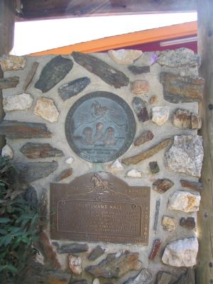
Photographed by Karen Key, October 6, 2006
5. Adjacent Plaques
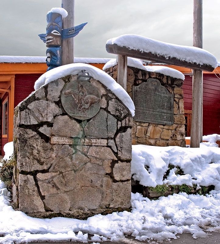
Photographed by Alvis Hendley, February 27, 2007
6. Sportsman’s Hall Totem and Markers
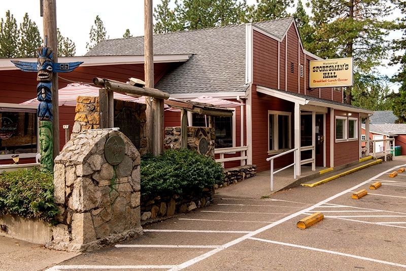
Photographed by Alvis Hendley, October 18, 2022
7. Sportsman’s Hall
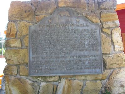
Photographed by Karen Key, October 6, 2006
8. Sportsman's Hall Marker
Credits. This page was last revised on October 8, 2025. It was originally submitted on October 13, 2006, by Karen Key of Sacramento, California. This page has been viewed 4,637 times since then and 150 times this year. Photos: 1. submitted on October 8, 2025, by Cory Waters of Bangor, California. 2, 3. submitted on October 13, 2006, by Karen Key of Sacramento, California. 4. submitted on August 5, 2010, by Melody Blair Moore of Ozark, Missouri. 5. submitted on October 13, 2006, by Karen Key of Sacramento, California. 6, 7. submitted on December 23, 2022, by Alvis Hendley of San Francisco, California. 8. submitted on October 13, 2006, by Karen Key of Sacramento, California. • J. J. Prats was the editor who published this page.
