Aberfoil Community
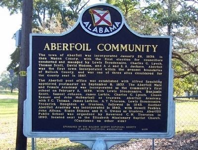
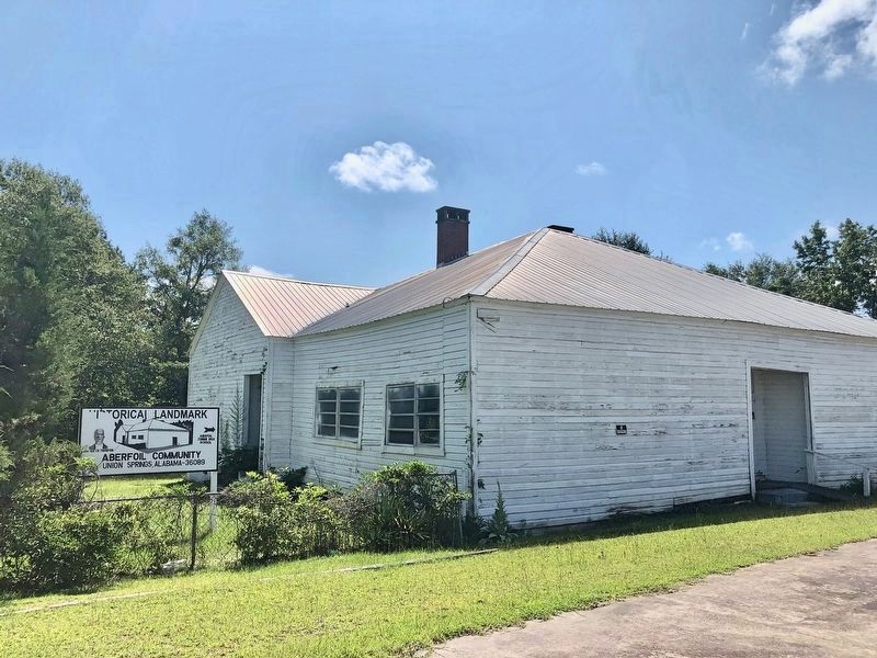
The Aberoil post office was established with Alfred Spaulding appointed postmaster on September 3, 1837. The Aberfoil Male and Female Academy was incorporated as the community’s first school on February 2, 1839, with Lewis Stoudenmire, Benjamin Scot, Samuel Johnson, James Larkin, Charles G. Lynch, Linson Keener and John McBearhall as trustees. Aberfoil Academy, with F. G. Thomas, James Larkin, A. Y. Frierson, Lewis Stoudenmire, Frederick Houghton as trustees, followed in 1843. Another Aberfoil Academy was incorporated in 1860, with Howell Peebles, John Allums, Simon Stinson and N. G. Owens as trustees. Aberfoil Public School was organized by Reverend C. H. Thornton in 1890, located next to the Elizabeth Missionary Baptist Church.
Aberfoil
this page online
Dallas Stoudenmire, a native of Aberfoil, joined the Confederate army at age 16 and became a legendary lawman in the post-war West where he served as a Texas Ranger, Town Marshall of El Paso, and United States Deputy Marshal.
Erected 2005 by The Bullock County Historical Society and the Alabama Historical Association.
Topics and series. This historical marker is listed in these topic lists: Cemeteries & Burial Sites • Religion & Religious Structures • Settlements & Settlers. In addition, it is included in the African Methodist Episcopal (AME) Church, and the Alabama Historical Association
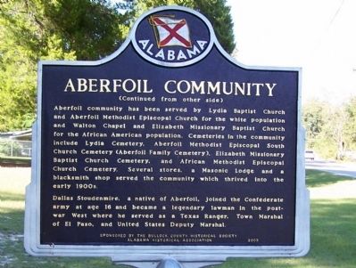
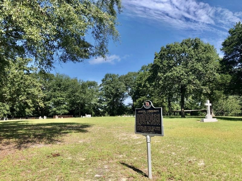
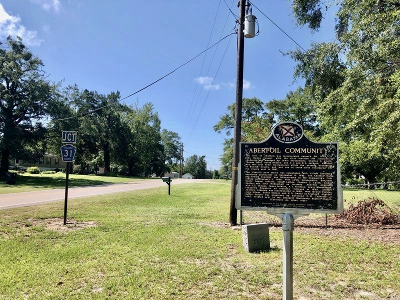
Location. 32° 4.104′ N, 85° 41.234′ W. Marker is in Aberfoil, Alabama, in Bullock County. It is on U.S. 29 just north of Twin Trail, on the right when traveling south. Touch for map. Marker is in this post office area: Union Springs AL 36089, United States of America. Touch for directions.

Regionally, this marker is in the American South, specifically in the Deep South, and in the Black Belt. Globally, it is in North America, a Gulf of Mexico state, the Western Hemisphere, the Western World, and the Anglosphere. Historically, it finds itself in what was once the territory of the Mississippian Culture, one of the Confederate States of America, and the Antebellum South.
Other nearby markers. At least 8 other markers are within 6 miles of this marker, measured as the crow flies: Aberfoil School (approx. half a mile away); Indian Treaty Boundary Line (approx. 4½ miles away); Sardis Baptist Church, Cemetery, and School (approx. 4.6 miles away); History of Inverness School (approx. 5 miles away); a different marker also named Indian Treaty Boundary Line (approx. 5.3
Credits. This page was last revised on July 26, 2020. It was originally submitted on November 11, 2012, by David J Gaines of Pinson, Alabama. This page has been viewed 2,031 times since then and 150 times this year. Photos: 1, 2. submitted on November 11, 2012, by David J Gaines of Pinson, Alabama. 3, 4, 5. submitted on July 26, 2020, by Mark Hilton of Montgomery, Alabama. • Bill Pfingsten was the editor who published this page.
