Machipongo in Northampton County, Virginia — The American South (Mid-Atlantic)
Northampton County High School
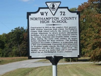
Photographed by Mike Stroud, October 13, 2012
1. Northampton County High School Marker
Erected 2010 by Department of Historic Resources and Northampton County High School Alumni Foundation. (Marker Number WY-72.)
Topics and series. This historical marker is listed in these topic lists: African Americans • Education • Indigenous Peoples and Communities. In addition, it is included in the Virginia Department of Historic Resources (DHR) series list. A significant historical year for this entry is 1953.
Location. 37° 24.174′ N, 75° 54.539′ W.
this page online

Regionally, this marker is on the Eastern Shore. It is also in the American South, specifically in the Upper South, on the Delmarva Peninsula, in the Tidewater, and on the Eastern Seaboard. Globally, it is in the North Atlantic Region, North America, the Western Hemisphere, the Western World, and the Anglosphere. Historically, it finds itself in what was once the territory of the Mississippian Culture, one of the original Thirteen Colonies, one of the Confederate States of America, and the Antebellum South.
Other nearby markers. At least 8 other markers are within walking distance of this marker: A different marker also named Relic from Spanish Steamship (approx. 0.2 miles away); Site of the Almshouse Farm at Machipongo (approx. ¼ mile away); Edward Franklin and Dorothy "Dot" Wise Gibb (approx. ¼ mile
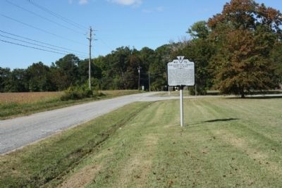
Photographed by Mike Stroud, October 13, 2012
2. Northampton County High School Marker, looking west on Young Street
Other markers no longer nearby. Relic from Spanish Steamship (was approx. 0.2 miles away but has been replaced with another marker now near it); The African American Almshouse (was approx. ¼ mile away but has been replaced with another marker now near it).
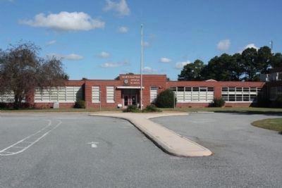
Photographed by Mike Stroud, October 13, 2012
3. Northampton County High School...
After 1970 until 2008, the facility served as a
junior high school and middle school for all Northampton County students.
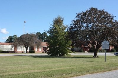
Photographed by Mike Stroud, October 13, 2012
4. Northampton County High School and Marker
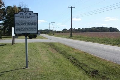
Photographed by Mike Stroud, October 13, 2012
5. Northampton County High School Marker, looking back east on Young Street
Credits. This page was last revised on June 16, 2016. It was originally submitted on November 13, 2012, by Mike Stroud of Bluffton, South Carolina. This page has been viewed 1,953 times since then and 101 times this year. Photos: 1, 2, 3, 4, 5. submitted on November 14, 2012, by Mike Stroud of Bluffton, South Carolina.
