Oakland in Garrett County, Maryland — The American Northeast (Mid-Atlantic)
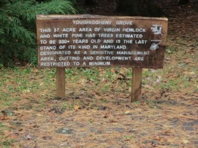
Youghiogheny Grove
Swallow Falls State Park
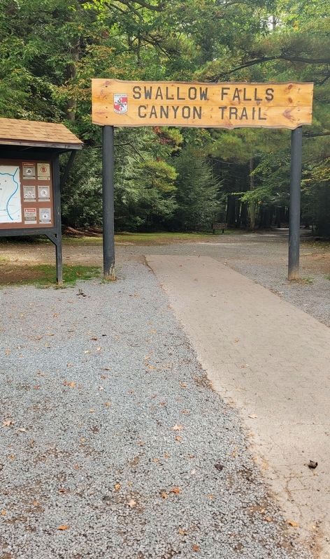
— Swallow Falls Canyon Trail —
Topics. This historical marker is listed in these topic lists: Environment • Horticulture & Forestry.
Location. 39° 29.942′ N, 79° 25.081′ W. Marker is in Oakland, Maryland, in Garrett County. Marker is on Maple Grove Road. Touch for map. Marker is in this post office area: Oakland MD 21550, United States of America. Touch for directions.
Other nearby markers. At least 8 other markers are within 6 miles of this marker, measured as the crow flies. Swallow Falls vs. Hurricane Sandy (a few steps from this marker); Civilian Conservation Corps (within shouting distance of this marker); Campsite (about 700 feet away, measured in a direct line); Forestry Beginning (approx. 3.4 miles away); Deep Creek Lake (approx. 4.7 miles away); Col. James McHenry of Baltimore (approx. 4.8 miles away); Fort Alice (approx. 5.3 miles away); The National Road (approx. 5.4 miles away). Touch for a list and map of all markers in Oakland.
Credits. This page was last revised on October 1, 2023. It was originally submitted on November 18, 2012, by Don Morfe of Baltimore, Maryland. This page has been viewed 1,014 times since then and 21 times this year. Photos: 1. submitted on November 18, 2012, by Don Morfe of Baltimore, Maryland. 2. submitted on September 30, 2023, by Bradley Owen of Morgantown, West Virginia. 3, 4. submitted on November 18, 2012, by Don Morfe of Baltimore, Maryland. • Bill Pfingsten was the editor who published this page.


