Near Jackson in Madison County, Tennessee — The American South (East South Central)
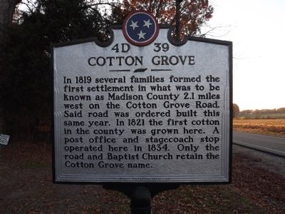
Cotton Grove
Erected by Tennessee Historical Commission. (Marker Number 4D 39.)
Topics and series. This historical marker is listed in these topic lists: Agriculture • Settlements & Settlers. In addition, it is included in the Tennessee Historical Commission series list. A significant historical year for this entry is 1819.
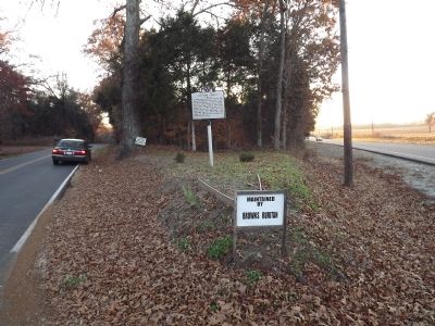
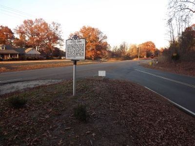
Location. 35° 41.797′ N, 88° 40.291′ W. Marker is near Jackson, Tennessee, in Madison County. Marker is at the intersection of US 412 (Tennessee Route 20) and Cotton Grove Road, on the right when traveling east on US 412. Touch for map. Marker is in this post office area: Jackson TN 38305, United States of America. Touch for directions.
Other nearby markers. At least 8 other markers are within 9 miles of this marker, measured as the crow flies. Forrest's Raid (approx. 4.7 miles away); Large Oak Tree (approx. 7 miles away); Unknown Sentry Stands Guard (approx. 7 miles away); The Battle of Salem Cemetery (approx. 7 miles away); a different marker also named Battle of Salem Cemetery (approx. 7.1 miles away); Jones' Anglewood (approx. 8.1 miles away); Skirmish At Carroll Station (approx. 8.3 miles away); John Luther Jones (approx. 8.7 miles away). Touch for a list and map of all markers in Jackson.
Credits. This page was last revised on June 16, 2016. It was originally submitted on November 18, 2012, by Ken Smith of Milan, Tennessee. This page has been viewed 759 times since then and 59 times this year. Photos: 1, 2, 3. submitted on November 18, 2012, by Ken Smith of Milan, Tennessee. • Bernard Fisher was the editor who published this page.


