
Near Le Grand in Merced County, California — The American West (Pacific Coastal)
The Old Millerton Road Crossed Here
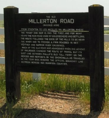
Photographed by Duane Hall, May 6, 2006
1. The Old Millerton Road Crossed Here Marker
Much of the old road was abandoned when the advent of railroads changed the route of travel but its east line between Phillip's Old Toll Ferry on the Merced and Newton's, on the Chowchilla, as traveled in the year 1864, remains the official boundary line between Merced and Mariposa Counties.
Topics. This historical marker is listed in this topic list: Roads & Vehicles. A significant historical year for this entry is 1864.
Location. 37° 20.468′ N, 120° 13.259′ W. Marker is near Le Grand, California, in Merced County. It is on Yosemite Highway (California Route 140) 2 miles east of North Cunningham Road, on the right when traveling east. The marker is at the Merced and Mariposa County lines. Touch for map. Marker is in this post office area: Le Grand CA 95333, United States of America. Touch for directions.

Regionally, this marker is in
this page online
Other nearby markers. At least 8 other markers are within 12 miles of this marker, measured as the crow flies: Indian Gulch (approx. 6.9 miles away); Cathey's Valley (approx. 10 miles away); Catheys Valley Schoolhouse (approx. 10 miles away); Hornitos (approx. 11.1 miles away); Hornitos Masonic Hall No. 98 (approx. 11.1 miles away); The Plaza Adobe (approx. 11.1 miles away); Hornitos Masonic Hall (approx. 11.1 miles away); Old Wells Fargo Office (approx. 11.1 miles away).
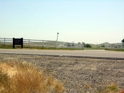
Photographed by Duane Hall, May 6, 2006
2. Looking south across State Route 140
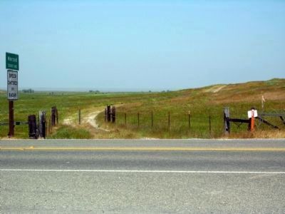
Photographed by Duane Hall, May 6, 2006
3. The Old Millerton Road north of State Route 140
Merced County and Mariposa County
Credits. This page was last revised on October 2, 2025. It was originally submitted on November 24, 2012, by Duane Hall of Abilene, Texas. This page has been viewed 1,392 times since then and 82 times this year. Photos: 1, 2, 3. submitted on November 24, 2012, by Duane Hall of Abilene, Texas. • Syd Whittle was the editor who published this page.
