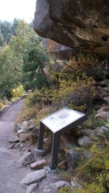
Walnut Canyon National Monument in Coconino County, Arizona — The American Mountains (Southwest)
What Happened Here?
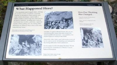
"It is very dusty work to dig for relics....We dug for an hour or more, and found...cornstalks, corncobs in abundance, beans, gourds, nuts, reeds, arrows, bowstrings,...coarse cloth, a child's sandal, a measuring stick with notches at regular intervals, smoothly worn sticks of hard wood, bone needles, a fish line, soapweed needles, broken pottery, etc. In visiting other dwellings we added to these relics, and came away heavily laden."
One woman's account of her trip to Walnut Canyon as reported in the San Francisco Call, ca. 1890.
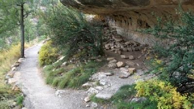
A number of rooms in Walnut Canyon, like this one, were destroyed by visitors who came armed with shovels and left with souvenirs - an acceptable, even promoted practice during the late 1800s.
Meanwhile, other visitors and local citizens, so moved by this canyon and its dwellings, and outraged by the looting, lobbied for federal protection.
On November 30, 1915, President Woodrow Wilson proclaimed the establishment of Walnut Canyon National Monument.
How Our Thinking Has Changed...
These sites are part of living cultures and deserve our respect.
Today, removing or digging for relics is illegal.
Sitting or leaning on walls can cause irreparable damage.
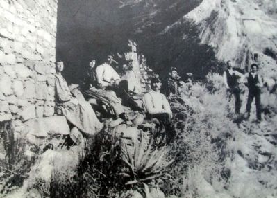
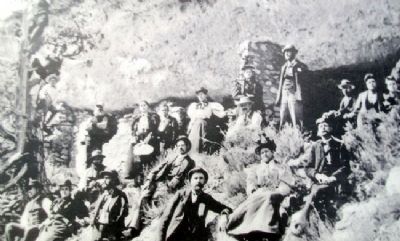
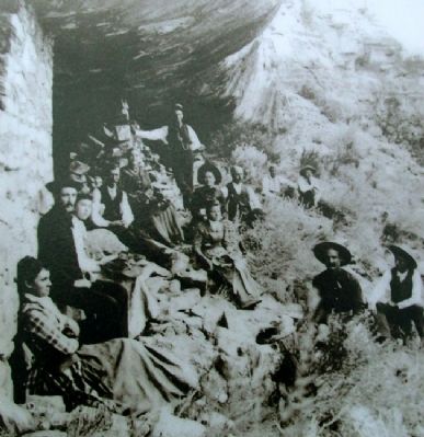
Photos: Early visitors enjoy outings to Walnut Canyon, ca. 1895
Erected by National Park Service, U.S. Department of the Interior.
Topics and series. This historical marker is listed in these topic lists: Anthropology & Archaeology • Architecture • Native Americans • Settlements & Settlers. In addition, it is included in the Former U.S. Presidents: #28 Woodrow Wilson series list. A significant historical month for this entry is November 1969.
Location. 35° 10.171′ N, 111° 30.552′ W. Marker is in Walnut Canyon National Monument, Arizona, in Coconino County. Marker is along the Island Trail loop, only accessible from the visitor center. Touch for map. Marker is at or near this postal address: 3 Walnut Canyon Road, Flagstaff AZ 86004, United States of America. Touch for directions.
Other nearby markers. At least 8 other markers are within walking distance of this marker. Departure (within shouting distance of this marker); A Community Sharing the Land (within shouting distance of this marker); Migration is not abandonment. (about 300 feet away, measured in a direct line); The Perfect Shelter (about 400 feet away); Problem Solving (about 400 feet away); Tension and Harmony (about 500 feet away); An Efficient Design (about 600 feet away); The Quest for Water (about 600 feet away). Touch for a list and map of all markers in Walnut Canyon National Monument.
Also see . . . Walnut Canyon National Monument. (Submitted on November 25, 2012, by William Fischer, Jr. of Scranton, Pennsylvania.)
Additional keywords. desecration, stealing of artifacts
Credits. This page was last revised on August 16, 2020. It was originally submitted on November 25, 2012, by William Fischer, Jr. of Scranton, Pennsylvania. This page has been viewed 563 times since then and 13 times this year. Photos: 1, 2, 3, 4, 5, 6. submitted on November 25, 2012, by William Fischer, Jr. of Scranton, Pennsylvania.
