Near Carlsbad in Eddy County, New Mexico — The American Mountains (Southwest)
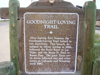
Goodnight-Loving Trail
Topics. This historical marker is listed in this topic list: Roads & Vehicles. A significant historical year for this entry is 1866.
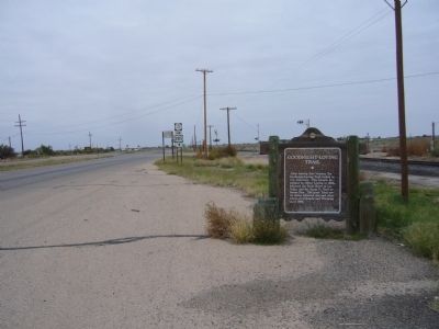
Location. 32° 18.719′ N, 104° 7.259′ W. Marker is near Carlsbad, New Mexico, in Eddy County. Marker is at the intersection of U.S. 285 and State Road 31, on the right when traveling north on U.S. 285. Marker is on the southeast corner. Touch for map. Marker is in this post office area: Carlsbad NM 88220, United States of America. Touch for directions.
Other nearby markers. At least 4 other markers are within 13 miles of this marker, measured as the crow flies. Loving's Bend (approx. 1.7 miles away); Espejo's Trail (approx. 6.2 miles away); Civilian Conservation Corps Carlsbad Campsite (approx. 12 miles away); Carlsbad Irrigation Flume (approx. 12.2 miles away).
Related marker. Click here for another marker that is related to this marker.

Photographed By Bill Kirchner, October 26, 2012
2. Back of Goodnight-Loving Trail Marker
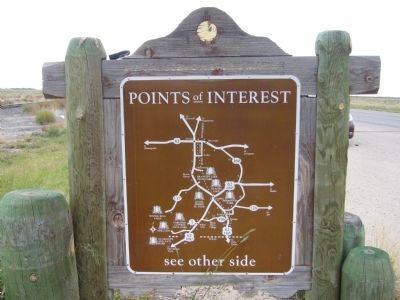
Points of Interest
New Mexico's Historic Markers typically have a map on the back side showing the location of other OSHM's. This is an excellent source of information when exploring for other Historical Markers and locations.
New Mexico's Historic Markers typically have a map on the back side showing the location of other OSHM's. This is an excellent source of information when exploring for other Historical Markers and locations.
Credits. This page was last revised on June 16, 2016. It was originally submitted on November 28, 2012, by Bill Kirchner of Tucson, Arizona. This page has been viewed 1,466 times since then and 68 times this year. Photos: 1, 2, 3. submitted on November 28, 2012, by Bill Kirchner of Tucson, Arizona. • Syd Whittle was the editor who published this page.

