Hooper Strait Lighthouse
Chesapeake Bay Maritime Museum
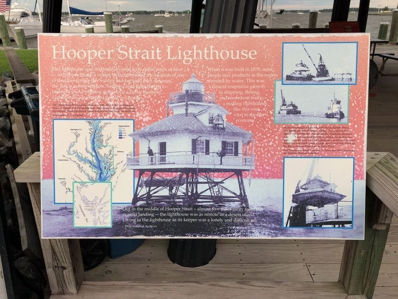
When it was built in 1879, most people and products in the region traveled by water. This was a time of enormous growth in shipping, fishing, and steamboat traffic, making lighthouses like this one vital to the Bay’s economy.
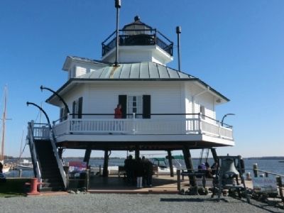
Out in the middle of Hooper Strait—almost five miles away from the nearest landing—the lighthouse was as remote as a desert island. Living in the lighthouse as its keeper was a lonely and difficult job.
Topics and series. This historical marker is listed in these topic lists: Charity & Public Work • Waterways & Vessels. In addition, it is included in the Lighthouses series list. A significant historical year for this entry is 1879.
Location. 38° 47.253′ N, 76° 13.159′ W. Marker has been reported damaged. Marker is in St. Michaels, Maryland, in Talbot County. Marker is on Mill Street east of Burns Street, on the right when traveling east. This marker is on the grounds of the Chesapeake Maritime Museum.
Other nearby markers. At least 8 other markers are within walking distance of this location. How the Screwpile Lighthouse Got Its Name (a few steps from this marker); Point Lookout Fog Bell Tower (a few steps from this marker); Iconic Chesapeake Light (within shouting distance of this marker); Last Bell Foundry (within shouting distance of this marker); Delaware (within shouting distance of this marker); Heard Through the Fog (within shouting distance of this marker); Tolchester Beach Bandstand (within shouting distance of this marker); Thor, Pilothouse (within shouting distance of this marker). Touch for a list and map of all markers in St. Michaels.
More about this marker. The marker has significant weather damage.
Credits. This page was last revised on August 26, 2019. It was originally submitted on November 29, 2012, by Don Morfe of Baltimore, Maryland. This page has been viewed 449 times since then and 12 times this year. Photos: 1. submitted on August 26, 2019, by Devry Becker Jones of Washington, District of Columbia. 2, 3, 4. submitted on November 29, 2012, by Don Morfe of Baltimore, Maryland. • Bill Pfingsten was the editor who published this page.


