Near Newman in Stanislaus County, California — The American West (Pacific Coastal)
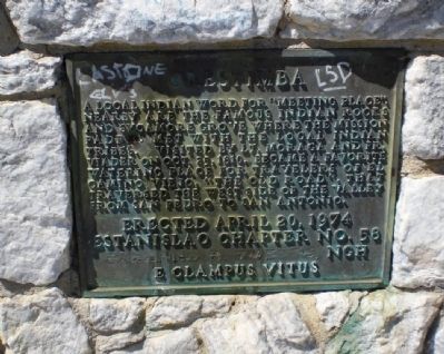
Orestimba
Erected April 20, 1974
Estanislao Chapter No. 58
Garland R. Goesch NGH
E Clampus Vitus
Erected 1974 by Estanislao Chapter No. 58, E Clampus Vitus.
Topics and series. This historical marker is listed in these topic lists: Native Americans • Roads & Vehicles. In addition, it is included in the E Clampus Vitus series list. A significant historical date for this entry is April 20, 2007.
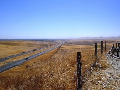
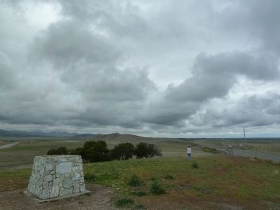
Location. 37° 18.052′ N, 121° 6.238′ W. Marker is near Newman, California, in Stanislaus County. Marker can be reached from Interstate 5. The marker is located at a scenic overlook on top of a hill near Newman, CA. It is only accessible by exiting from I-5 driving southbound - exit at the sign for the scenic overlook, and follow the road ~0.1 mile to the top of the hill. Touch for map. Marker is in this post office area: Newman CA 95360, United States of America. Touch for directions.
Other nearby markers. At least 8 other markers are within 5 miles of this marker, measured as the crow flies. West of This Point is the California Aqueduct (within shouting distance of this marker); Orestimba School (approx. 4.3 miles away); Founding Day April 28, 1888 (approx. 4.4 miles away); Dr. Stratton's Hospital (approx. 4˝ miles away); The West Side Index (approx. 4.6 miles away); Carnegie Library (approx. 4.6 miles away); West Side Theatre (approx. 4.6 miles away); Knights of Pythias (approx. 4.6 miles away). Touch for a list and map of all markers in Newman.
More about this marker. The marker is roughly one mile south of Orestimba creek. The rocks and sycamore grove, if still extant, are not visible from the marker.
Regarding Orestimba. In Historic Spots in California, Mildred Hoover notes that the Arroyo de Orestimba was called "the meeting place" because the padres and local Indians agreed to meet there again in the following year.
Photographed By Andrew Ruppenstein, September 4, 2008
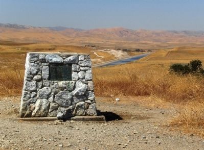
2. Orestimba Marker - Wide Shot (looking north-west)
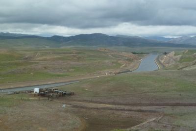
In the background is the California Aqueduct. The aqueduct, constructed in the early 1960's, carries water more than 440 miles from the Sacramento-San Joaquin River delta to Lake Perris in Southern California.
Credits. This page was last revised on June 16, 2016. It was originally submitted on March 22, 2009, by Andrew Ruppenstein of Lamorinda, California. This page has been viewed 3,172 times since then and 200 times this year. Last updated on December 4, 2012, by Michael Kindig of Elk Grove, California. Photos: 1, 2, 3. submitted on March 22, 2009, by Andrew Ruppenstein of Lamorinda, California. 4, 5. submitted on April 13, 2012. • Syd Whittle was the editor who published this page.
