Newport in Cocke County, Tennessee — The American South (East South Central)
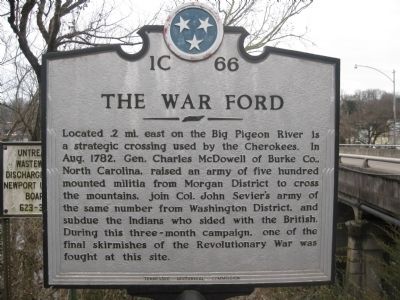
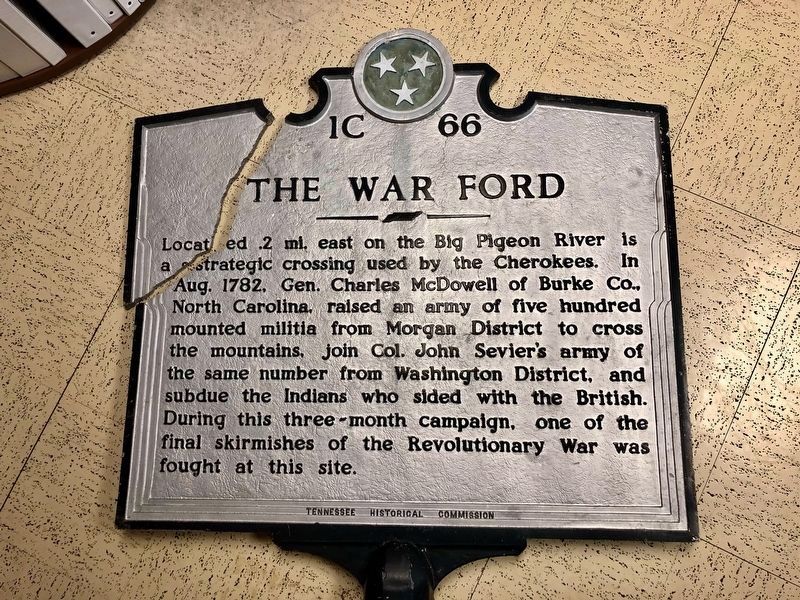
The War Ford
Erected by Tennessee Historical Commission. (Marker Number 1C 66.)
Topics and series. This historical marker is listed in these topic lists: Military • Native Americans • War, US Revolutionary. In addition, it is included in the Tennessee Historical Commission series list. A significant historical month for this entry is August 1782.
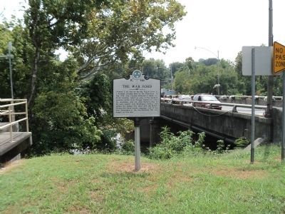
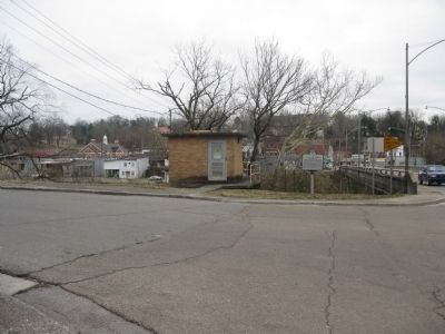
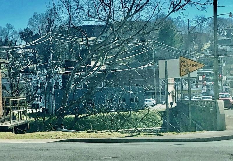
Location. Marker is missing. It was located near 35° 58.162′ N, 83° 11.232′ W. Marker was in Newport, Tennessee, in Cocke County. Marker was at the intersection of North Street (U.S. 321) and Northcutt Street, on the right when traveling north on North Street. Touch for map. Marker was in this post office area: Newport TN 37821, United States of America. Touch for directions.
Other nearby markers. At least 8 other markers are within 2 miles of this location, measured as the crow flies. City Hall (approx. 0.2 miles away); Kiffin Yates Rockwell (approx. 0.2 miles away); Cocke County Veterans Monument (approx. ¼ mile away); Cocke County War Memorial (approx. ¼ mile away); The Warford (approx. 0.4 miles away); Swinging Bridge (approx. 0.4 miles away); The Cross (approx. 0.4 miles away); Governor Ben Walter Hooper (approx. 1.8 miles away). Touch for a list and map of all markers in Newport.
Additional commentary.
1. Marker damaged and removed.
The marker was knocked down and damaged by a car wreck this past December. TDOT has been notified.
— Submitted February 1, 2021.
Credits. This page was last revised on February 1, 2021. It was originally submitted on March 6, 2010, by Tom Bosse of Jefferson City, Tennessee. This page has been viewed 1,618 times since then and 67 times this year. Last updated on December 12, 2012, by Byron Hooks of Sandy Springs, Georgia. Photos: 1. submitted on March 6, 2010, by Tom Bosse of Jefferson City, Tennessee. 2. submitted on August 13, 2012, by Bill Coughlin of Woodland Park, New Jersey. 3. submitted on March 6, 2010, by Tom Bosse of Jefferson City, Tennessee. 4, 5. submitted on February 1, 2021, by Jeremy Shelton of Newport, Tennessee. • Bill Pfingsten was the editor who published this page.
