Annapolis in Anne Arundel County, Maryland — The American Northeast (Mid-Atlantic)
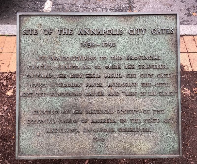
Site of the Annapolis City Gates
1698-1790
Photographed by Howard C. Ohlhous, November 7, 2018
1. Site of the Annapolis City Gates Marker
Erected 1983 by National Society of the Colonial Dames of America in the State of Maryland, Annapolis Committee.
Topics and series. This historical marker is listed in this topic list: Colonial Era. In addition, it is included in the The Colonial Dames of America, National Society of series list. A significant historical year for this entry is 1983.
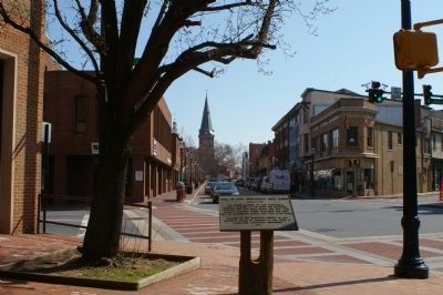
Location. 38° 58.689′ N, 76° 29.763′ W. Marker is in Annapolis, Maryland, in Anne Arundel County. It is at the intersection of West Street (Maryland Route 450) and Calvert Street, on the right when traveling east on West Street. Touch for map. Marker is at or near this postal address: 69 West Street, Annapolis MD 21401, United States of America. Touch for directions.

Regionally, this marker is in Central Maryland. It is also in the American Mid-Atlantic, in the Chesapeake Bay Region, and on the Eastern Seaboard. Globally, it is in the North Atlantic Region,
this page online
Other nearby markers. At least 8 other markers are within walking distance of this marker: Lincoln in Annapolis (a few steps from this marker); Community Bulletin Board (within shouting distance of this marker); The Old Fourth Ward (within shouting distance of this marker); The Harlem of Annapolis (within shouting distance of this marker); Asbury United Methodist Church (within shouting distance of this marker); "Preservation Was A Fight!" (about 300 feet away, measured in a direct line); Marion Warren's six photographs capture this historic Annapolis neighborhood in a sleepier time (about 400 feet away); On this site on November 25, 1960 (about 500 feet away). Touch for a list and map of all markers in Annapolis.
Photographed by Christopher Busta-Peck, March 13, 2008
2. Site of the Annapolis City Gates Marker
Photographed by Christopher Busta-Peck, March 13, 2008
3. Location of the gates, looking east
Photographed by Howard C. Ohlhous, November 7, 2018
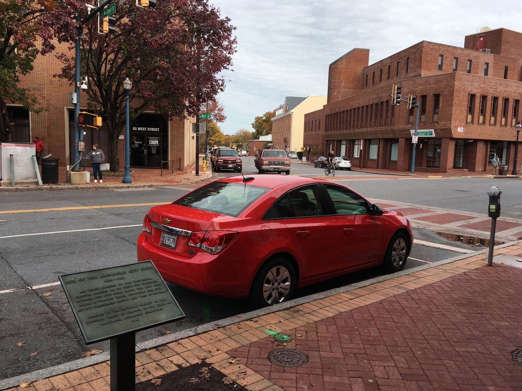
4. Site of the Annapolis City Gates Marker
The marker appears to have crossed the street from its original location. Seen here the marker is on the south side of West Street, opposite Carver Street.
Credits. This page was last revised on October 6, 2021. It was originally submitted on March 14, 2008, by Christopher Busta-Peck of Shaker Heights, Ohio. This page has been viewed 1,965 times since then and 65 times this year. Photos: 1. submitted on November 9, 2018, by Howard C. Ohlhous of Duanesburg, New York. 2, 3. submitted on March 14, 2008, by Christopher Busta-Peck of Shaker Heights, Ohio. 4. submitted on November 9, 2018, by Howard C. Ohlhous of Duanesburg, New York.
